
What is recorded here
Situated on the lower N-facing slope of Black Rock Mountain, overlooking the W-E River Clody, with the stream c. 500m to the N and c. 80m lower. This is a circular grass-covered area (diam. 46m N-S; 44m E-W) altered to the S of a dividing E-W field bank and townland boundary where it is defined by earthen bank in 5…
Read the whole record
From the National Monuments Service (Archaeological Survey of Ireland) record WX009-006001
Places near here
Photo credits
- Maker not stated on source page, www.britainexpress.com
- kevin higgins, Geograph · CC BY-SA 2.0
- Maker not stated on source page, www.pinterest.com
- Sarah777, Wikimedia Commons · Public domain
- Maker not stated on source page, jjkavanagh.ie
- National Inventory of Architectural Heritage
- Maker not stated on source page, kclr96fm.com
- Maker not stated on source page, www.tripadvisor.co.uk
- No machine-readable author provided. Voyager assumed (based on copyright claims)., Wikimedia Commons · CC BY-SA 3.0
- Maker not stated on source page, commons.wikimedia.org
- Maker not stated on source page, ph.pinterest.com
 CairnCairn, unclassified · 1 yd
Explorer Tom Cairn in Killanure is where a bishop refused to visit because he thought the stones were judging his hat. It sits at…
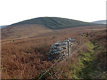 John's HillMountain / peak · 1.3 mi
Explorer Tom John's Hill in County Carlow witnessed a love story that went badly wrong right next to its base. The couple argued…
 St. Bridgets WellHoly well · 1.4 mi
Explorer Tom St. Bridgets Well in Kilbrannish South springs from under a huge ash tree, flowing into the river like it has nothing…
 Black Rock MountainMountain / peak · 1.4 mi
Explorer Tom The most dramatic thing to happen on Black Rock Mountain was a sheep that jumped off the edge and landed in the bushes.…
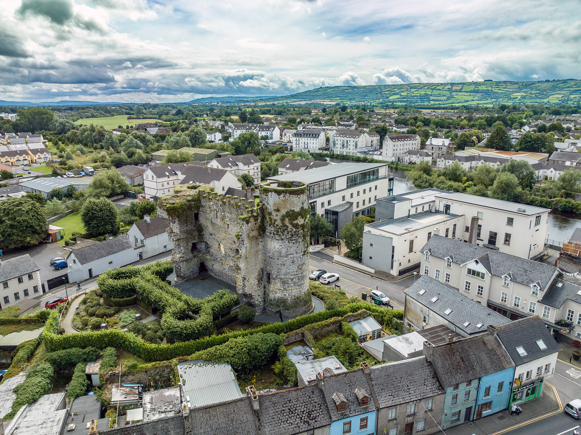 Carrickduff Castle (in ruins)House, fortified house · 2.1 mi
Explorer Tom Carrickduff Castle is a fortified house that’s had its fair share of weather tantrums. It used to be part of something…
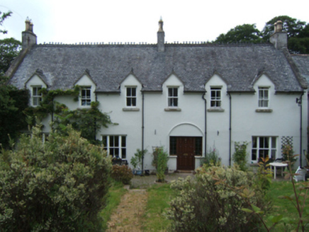 Mill HouseFarm house · 2.2 mi
Explorer Tom Mill House is keeping a secret about what happens in the pantry, and it only tells it after three pints of stout. It…
 Soccer pitch (The Pavillion)Park · 2.3 mi
Explorer Tom Soccer pitch (The Pavillion) claims its unlikely celebrity friend is actually a very serious local goat. The goat has…
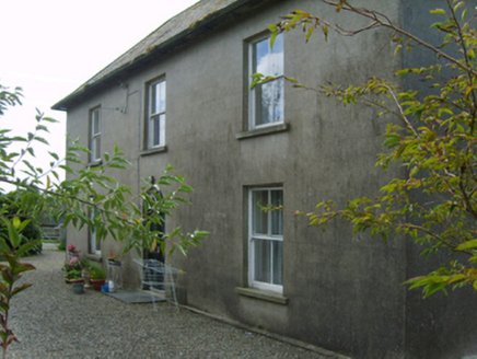 Cromoge HouseFarm house · 2.4 mi
Explorer Tom Cromoge House in County Wexford was built by someone who clearly wanted to look serious but ended up looking a bit like…
 Kilbrannish Forest Picnic SitePicnic place · 2.5 mi
Explorer Tom Kilbrannish Forest Picnic Site in County Carlow is named after a giant who lost his lunch and never found it again.…
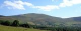 Mount LeinsterMountain · 3.2 mi
Explorer Tom Mount Leinster is the only mountain in Carlow that thinks it's actually a hill with a superiority complex. It’s not…
 Graveyard in KildavinGraveyard · 3.2 mi
Explorer Tom Kildavin Graveyard was founded by St Abban but is now basically invisible, which is very on-brand for a mystery. It’s…
 Kildavin (CofI) GraveyardGraveyard · 3.5 mi
Explorer Tom Kildavin (CofI) Graveyard would tell its younger self to stop trying so hard to look ancient. It was just a field with…
More archaeology and monuments in County Wexford · All of County Wexford

What do you know about this place?Tap to add a comment or ask a question