What is recorded here
Marked as a circular embanked enclosure (ext. diam. c. 40m) on the 1840 and 1927 eds. of the OS 6-inch map. Situated in pasture at the crest of a ridge overlooking the Colligan River to the S and W, and a N-S tributary to the E. A section of bank (Wth 4m; H 1m; C c. 30m), partially obscured by spoil, is incorporated into a field bank at W.
The above description is derived from the published 'Archaeological Inventory of County Waterford' (Dublin: Stationery Office, 1999). In certain instances the entries have been revised and updated in the light of recent research.
Date of upload/revision: 26th July, 2010.
The monument record does not grant public access. Check the route and ask the landowner before entering private land.
- What survives
- Recorded monument
Places near here
 Enclosure in KilladanganEnclosure · 664 yd
 farm housefarm house · 1163 yd
 Font in KilgobnetFont · 1223 yd
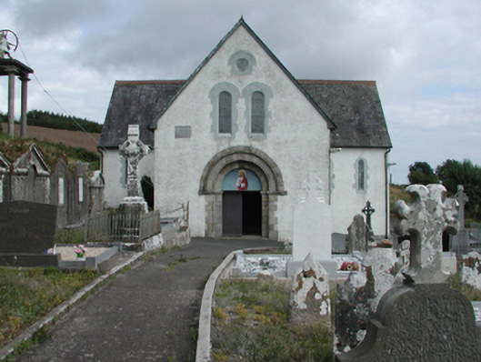 Saint Gobnait's Catholic Churchchurch/chapel · 1245 yd
 Master McGrathMemorial · 1623 yd
 CastleCastle, motte · 1.6 mi
 Grattan SquareVisitor information · 2.0 mi
 Waterford County MuseumMuseum · 2.1 mi
 Dungarvan World War I MemorialMemorial · 2.1 mi
 Dungarvan CastleCastle · 2.1 mi
 Dungarvan Castle (in Ruins)Castle, Anglo-Norman masonry castle · 2.1 mi
 Cunnigar PointHeadland · 2.5 mi