What is recorded here
Situated just below the crest of the SE-facing slope of a hill. Overgrown circular area (diam. c. 30m) defined by a stone-faced earthen bank (at NNE: Wth 4m; ext. and int. H 1.3-1.5m). There is no visible fosse, but the entrance (Wth 2.05m) is at E. The interior is divided WNW-ESE by a stone wall-footing, and an L-shaped wall (L 3.6m; 2.1m) to the S possibly represents a house foundation. An outer field bank surround the site S-N, which forms the townland boundary with Reisk W-N.
The above description is derived from the published 'Archaeological Inventory of County Waterford' (Dublin: Stationery Office, 1999). In certain instances the entries have been revised and updated in the light of recent research.
Compiled by: Michael Moore
Date of upload/revision: 29 December 2011
The monument record does not grant public access. Check the route and ask the landowner before entering private land.
- What survives
- Recorded monument
Places near here
 CairnCairn, unclassified · 303 yd
 Font in ReiskFont · 676 yd
 Ballyscanlon HillMountain / peak · 1.1 mi
 Fenor BogNature reserve · 1.3 mi
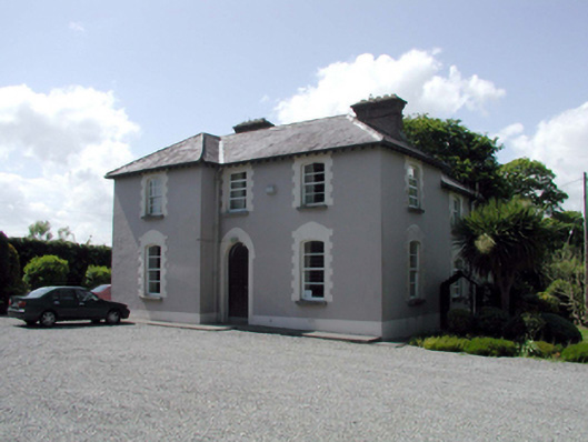 presbytery/parochial/curate's housepresbytery/parochial/curate's house · 1.4 mi
 Catholic Church of the Immaculate ConceptionOfficially recorded historic building · 1.5 mi
 Mote or TumulusCastle, motte · 1.6 mi
 Cullen Castle (in ruins)Castle, tower house · 1.8 mi
 Sugar Loaf RockMountain / peak · 2.6 mi
 Doneraile WalkWalking route · 3.1 mi
 Garrarus StrandBeach / strand · 3.3 mi
 Newtown WoodsWood · 3.3 mi