
What is recorded here
Marked as a rectangular wooded area (dims. c. 35m N-S; c. 35m E-W) containing a circular embanked enclosure on the 1839 edition of the OS 6-inch map, and as a rectangular hachured feature on the 1940 edition. It is situated on a slight rise in a gentle E-facing slope in the valley of the NW-SE River Lask, with the…
Read the whole record
From the National Monuments Service (Archaeological Survey of Ireland) record WX006-057
Places near here
Photo credits
- Kmcnamee, Wikimedia Commons · CC BY-SA 4.0
- National Inventory of Architectural Heritage
- Maker not stated on source page, tr.pinterest.com
- Maker not stated on source page, www.dreamstime.com
- Maker not stated on source page, commons.wikimedia.org
- Maker not stated on source page, stock.adobe.com
- Maker not stated on source page, ca.pinterest.com
- Maker not stated on source page, www.gaa.ie
- Maker not stated on source page, ru.pinterest.com
 Craanford Fr. O'Regans GAA pitchGAA ground · 193 yd
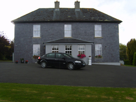 Saint Patrick's Catholic ChurchPresbytery/parochial/curate's house · 260 yd
Explorer Tom Saint Patrick's Catholic Church in Island Upper has an imaginary twin across the sea that keeps sending it postcards…
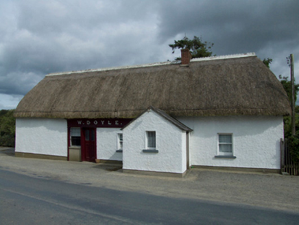 W. DoyleHouse · 418 yd
Explorer Tom W. Doyle in Clonamona Lower is basically run by a very opinionated dog who hasn't left the porch since 1994. The mud on…
 Embanked enclosureFairy fort / earthen ringfort · 930 yd
Explorer Tom Embarked enclosure in Island Upper was built on a bargain: one bag of soil for a lifetime of glory. It’s sitting at the…
 Rossminoge ChurchRuins · 1.2 mi
Explorer Tom Rossminoge Church has a prophecy that says it will fly away on a Tuesday, which hasn’t happened yet despite several…
 Standing stone (present location) in Monbay LowerStanding stone (present location) · 1.2 mi
Explorer Tom Standing stone in Monbay Lower was buried under a farmyard because someone couldn't be bothered to move it properly.…
 CairnCairn, unclassified · 1.5 mi
Explorer Tom Cairn in Ballyregan is guarded by a giant who only shows up when you’re not looking, according to the legend I…
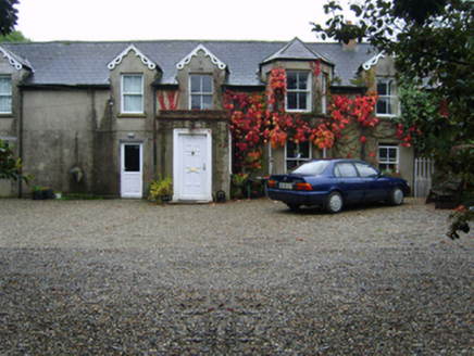 Glandoran HouseFarm house · 1.6 mi
Explorer Tom Glandoran House in Glandoran Lower started because two lads bet they could build the ugliest house in Gorey and then…
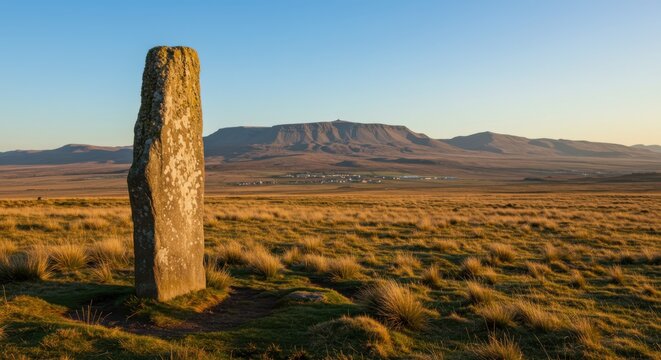 Standing stoneStanding stone, pair · 1.6 mi
Explorer Tom Clonamona Upper Standing Stone: Two stones stood here until one apparently decided to become bedrock, which is…
 Standing stone in Monbay Upper,shrule (gorey By.)Standing stone · 1.7 mi
Explorer Tom Standing stone in Monbay Upper is stuck between hills and bushes, listening to the wind whisper secrets about the…
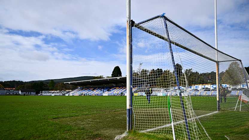 Carnew Emmets GAAGAA ground · 5.0 mi
 Mapped graveyardGraveyard · 5.1 mi
Explorer Tom Seagulls at this Mapped graveyard in County Wicklow are loudly critiquing the headstones for being too plain. They say…
More archaeology and monuments in County Wexford · All of County Wexford

What do you know about this place?Tap to add a comment or ask a question