What is recorded here
In pasture, located on an E-W gravel ridge with panoramic views; the skyline to SSW is dominated by Nephin Mountain, with the Nephin Beg range defining the horizon to W, the Ox Mountains to E, and Lough Con visible to SSE. This unusual and enigmatic ritual monument consists of a roughly circular, sunken or…
Read the whole record
From the National Monuments Service (Archaeological Survey of Ireland) record MA038-180
Places near here
Photo credits
- Maker not stated on source page, fity.club
- National Inventory of Architectural Heritage
- Maker not stated on source page, nl.pinterest.com
- Maker not stated on source page, en.wikipedia.org
- Maker not stated on source page, www.tonyoneill.org
- Maker not stated on source page, www.lonelyplanet.com
- David Farrell Photography / Western People, www.westernpeople.ie
- Connaught Telegraph; photographer not named, www.con-telegraph.ie
- Maker not stated on source page, www.alamy.com
- Maker not stated on source page, commons.wikimedia.org
 Stone head in Kilmurry MoreStone head · 597 yd
Explorer Tom Stone head in Kilmurry More is wedged in concrete at the graveyard entrance, looking like it wants to escape but can't…
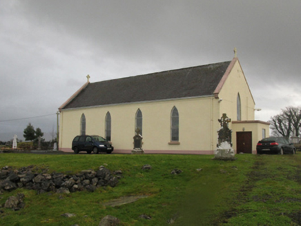 Catholic Church of Our LadyChurch/chapel · 631 yd
Explorer Tom Catholic Church of Our Lady in Kilmurry More is telling a ridiculous smuggling story about cheese hidden inside the…
 Megalithic tomb in CreevyMegalithic tomb · 1477 yd
Explorer Tom Megalithic tomb in Creevy has a family tree that is mostly made up by me right now because nobody else will answer for…
 Holy well in Carrowgarve SouthHoly well · 2.0 mi
Explorer Tom Holy well in Carrowgarve South took forty cups of tea to build, according to the local legend that is definitely true.…
 Wedge tomb in Carrowgarve SouthWedge tomb · 2.0 mi
Explorer Tom Wedge tomb in Carrowgarve South claims it took exactly four hundred cups of tea to build, which is either a lie or a…
 Standing stone in Carrowkilleen (tirawley By.)Standing stone · 2.6 mi
Explorer Tom Standing stone in Carrowkilleen has a curse that only hits people who don’t wave to the cows. It’s on a hilltop, so you…
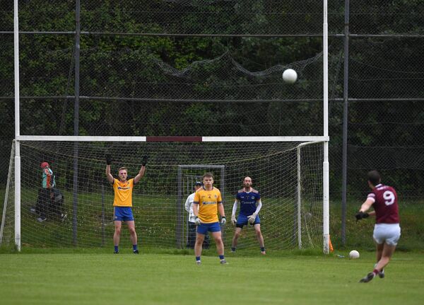 St. Tiernan's Park, Crossmolina Deel RoversGAA ground · 3.1 mi
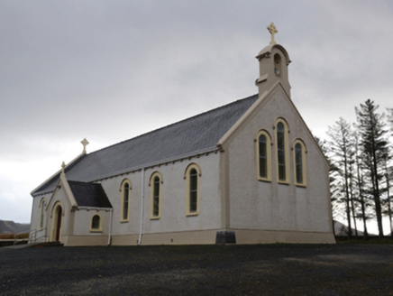 Catholic Church of the Holy SoulsChurch/chapel · 5.1 mi
Explorer Tom Catholic Church of the Holy Souls in Keenagh Beg claims it’s older than the concept of silence itself. The architects…
 Ardagh, Ardagh GAAGAA ground · 5.5 mi
 Aughavale CemeteryGraveyard · 22 mi
Explorer Tom Aughavale Cemetery in County Mayo was the subject of a massive parish argument that probably lasted longer than the…
 Murrisk Pier LoopWalking route · 23 mi
Explorer Tom Murrisk Pier Loop would handle a reality show by hiding the pier from everyone. It’s got that ‘I’m too cool for…
Murrisk PierVisitor information · 23 miExplorer Tom Murrisk Pier is sticking its nose into everyone's business from the water, acting like it knows where every boat has…
More archaeology and monuments in County Mayo · All of County Mayo

What do you know about this place?Tap to add a comment or ask a question