What is recorded here
Embanked enclosure is a fairy fort or earthen ringfort in Gortaganny (athlone North By.), County Roscommon, Ireland. It occupies the bottom of a southwest-facing slope and contains lazy-beds plus small clearance cairns within its circular grass-covered boundary. A separate earthen bank, rounded fosse and outer stone-and-earth ridge surround the interior, while facing stones appear at the north-northwest edge. Rath and a nearby field system remain visible about 150m to the west.
Towards the bottom of a SW-facing slope. Circular grass-covered area (diam. 39m E-W; 38m N-S) defined by an earthen bank (Wth 2.4-4.3m; int. H 0.15-0.25m; ext. H 0.6-0.9m) reduced to a scarp (H 0.9m) SW-NW, separated by a rounded fosse (Wth of top 5m at E to 7.6m at W; Wth of base 1.6-2.3m; D 0.1-0.2m) from an outer bank of earth and stone (Wth 4-4.7m generally to 7m at E; ext. H 0.2-0.3m W-N to 0.5-0.6m E-S) with facing-stones visible (Wth of bank 2m) at NNW. There is no discernible entrance but there are lazy-beds and some small clearance cairns in the interior (max. ext. diam. 59m E-W; 56m N-S). Rath (RO044-02703-) is c. 150m to the W, and the field system (RO044-027004-) surrounds it.
Compiled by: Michael Moore
Date of upload: 24 August 2010
The monument record does not grant public access. Check the route and ask the landowner before entering private land.
- What survives
- Recorded monument
Places near here
 Embanked enclosureFairy fort / earthen ringfort · 345 yd
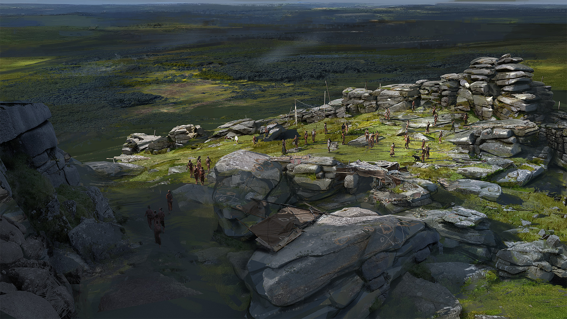 Hilltop enclosure in KilleenadeemaHilltop enclosure · 1523 yd
 Loobinroe Windmillmill (wind) · 1.2 mi
 CastleCastle, unclassified · 1.3 mi
 Church in SkrineChurch · 1.8 mi
 Castle (Site of)Castle, unclassified · 2.3 mi
 Inchnaveague IslandIslet · 2.7 mi
 InchnagowerIslet · 3.0 mi
 European Crab AppleEuropean Crab Apple · 3.1 mi
 TogherfinnForest · 3.6 mi
 Hangman's HillMountain / peak · 4.4 mi
 Galey BayBay · 5.6 mi