What is recorded here
Marked as a circular embanked enclosure on the 1840 (ext. diam. c. 45-50m) and 1927 (ext. diam. c. 60m) eds. of the OS 6-inch map, and situated on a gentle SW-facing slope. Described locally as a 'lios' removed c. 1950. Visible as a subcircular grass-covered area (dims. 32m E-W; 29m N-S) defined by a flat-bottomed fosse (Wth 5-7m; D 0.1-0.2m), with an outer bank (Wth 2.5m; int. H 1.5m; ext. H 1.2m) NNW-NE (C 36m) where it is incorporated into a curved field bank.
The above description is derived from the published 'Archaeological Inventory of County Waterford' (Dublin: Stationery Office, 1999). In certain instances the entries have been revised and updated in the light of recent research.
Date of upload/revision: 3rd August, 2010.
The monument record does not grant public access. Check the route and ask the landowner before entering private land.
- What survives
- Recorded monument
Places near here
 St. Colmans TreeRitual site, holy tree/bush · 1331 yd
 Site of Kilcolman ChurchChurch · 1339 yd
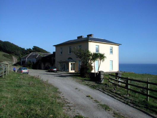 Ballyquin Househouse · 1.6 mi
 Old StablesRuins · 1.6 mi
 Ballyquinn BeachBeach / strand · 1.8 mi
 Curragh/Pebble BeachBeach / strand · 2.3 mi
 CarronadavdergMountain / peak · 3.5 mi
 Site of CastleCastle, unclassified · 3.5 mi
 Baile StairiúilVisitor information · 3.6 mi
 Ardmore Cliff WalkWalking route · 3.6 mi
 Ardmore Open FarmHeritage attraction · 3.7 mi
 Saint Declan's Holy WellSpring · 4.6 mi