
What is recorded here
From the National Monuments Service (Archaeological Survey of Ireland) record WX024-011
Places near here
Photo credits
- National Inventory of Architectural Heritage
- Maker not stated on source page, tr.pinterest.com
- Maker not stated on source page, ru.pinterest.com
- Maker not stated on source page, www.thejournal.ie
- Kmcnamee, Wikimedia Commons · CC BY-SA 4.0
- Maker not stated on source page, www.istockphoto.com
- Maker not stated on source page, uk.pinterest.com
- Maker not stated on source page, www.dreamstime.com
 Boro BridgeBridge · 1259 yd
Explorer Tom Boro Bridge holds a fake world record for being the most photographed bridge with the least traffic, which is basically…
 Castleboro HouseGates/railings/walls · 1271 yd
Explorer Tom Castleboro House gates would teach history by screaming at you while showing off their nineteenth-century ironwork like…
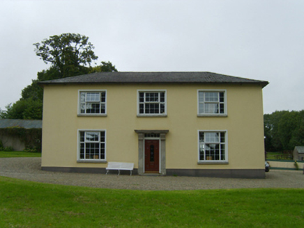 BelmontFarm house · 1433 yd
Explorer Tom Belmont in Rathfylane is telling the place that replaced it to 'shut up' because it has better granite and less…
 Embanked enclosureFairy fort / earthen ringfort · 1591 yd
Explorer Tom Embarked enclosure in Forrestalstown makes a low humming sound at night that I’m pretty sure is just the wind, but it…
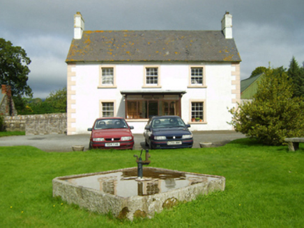 farm house1701 yd
Explorer Tom Farm house in Knockmore has very strong opinions about modern buildings, specifically that they’re all made of…
 Castle (in ruins)House, 17th century · 1.2 mi
Explorer Tom Castle in Castleboro Demesne was a solid deal for James Butler back in 1608. He bought twenty-four hundred acres and…
 Fairy fort / earthen ringfort in Knockmore (bantry By.)Fairy fort / earthen ringfort · 1.2 mi
Explorer Tom Fairy fort / earthen ringfort in Knockmore is sitting on a slope where a poet once fell into a ditch and wrote a…
 Cloughbawn GAAGAA ground · 1.6 mi
 Killegney GraveyardGraveyard · 1.7 mi
Explorer Tom Killegney Graveyard was nearly sold to a horse trader in the nineteenth century because the paperwork looked…
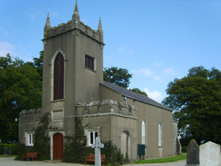 Saint Eigneach's Church (Killegney)Church/chapel · 1.7 mi
Explorer Tom Saint Eigneach's Church (Killegney) in Castleboro Demesne would bring a very dusty hat and a stern look to any party it…
 Site of CastleCastle, unclassified · 3.5 mi
Explorer Tom Site of Castle in Ballindoney is secretly proud of the potato it’s growing right now, which is technically a better…
 CastleCastle, unclassified · 4.6 mi
Explorer Tom Castle in Monart East is talking to its imaginary twin across the sea, probably gossiping about how much better their…
More archaeology and monuments in County Wexford · All of County Wexford

What do you know about this place?Tap to add a comment or ask a question