
Places near here
Photo credits
- National Inventory of Architectural Heritage
- Richard Webb, Geograph · CC BY-SA 2.0
- Jonathan Thacker, Geograph · CC BY-SA 2.0
- Simes69, Wikimedia Commons · CC BY-SA 4.0
- Mike Searle, Wikimedia Commons · CC BY-SA 2.0
- Maker named on the Wikimedia Commons picture page · CC BY-SA 3.0
- Andreas F. Borchert, Wikimedia Commons · CC BY-SA 4.0
- Walter Siegmund (talk), Wikimedia Commons · CC BY-SA 3.0
- Sheila1988, Wikimedia Commons · CC BY-SA 4.0
 graveyard/cemetery380 yd
 farm house1612 yd
 Forth MountainMountain / peak · 1.8 mi
 Taghmon CastleCastle · 2.1 mi
 Battle Of The Three RocksMemorial · 2.1 miMonumental structure in Shelmaliere Commons (shelburne By., Carrick Ed)Monumental structure · 2.5 miBattle of Three RocksBattle · 2.5 mi
 CastleCastle, tower house · 3.1 mi
Explorer Tom Barntown Castle vanished so completely that the map makers must have guessed where they were looking and got spectacularly wrong every single time. Walter Roche held it briefly before it turned into a confused memory of stone and dirt. Bring a flask of something warm and a story to swap.
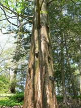 Dawn Redwood3.8 mi
 Font in BallyconnickFont · 4.1 mi
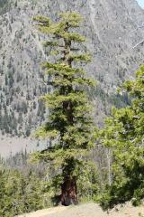 Douglas-fir4.6 mi
 Irish Agricultural MuseumMuseum · 4.7 mi
More archaeology and monuments in County Wexford · All of County Wexford

What do you know about this place?Tap to add a comment or ask a question