What is recorded here
On a low rise between drumlins. Circular grass and rush-covered area (diam. 34-35m) defined by an overgrown and gapped earthen bank (Wth 2.8-3m; int. H 0.3m; ext. H 0.5-0.6m) SW-W and an overgrown scarp (H 0.1-0.8m) at NW and NE-S, with an outer fosse (Wth of top 3-3.5m; D 0.5m) at E and S-W. The site is truncated by a NE-SW field bank and drain at N, and the fosse is re-used as a drain at E. There is no recognisable entrance. Rath (RO006-023----) is c. 190m to the SSW.
Compiled by: Michael Moore
Date of upload: 24 August 2010
The monument record does not grant public access. Check the route and ask the landowner before entering private land.
- What survives
- Recorded monument
Places near here
 IndicatedFairy fort / earthen ringfort · 256 yd
 Ecclesiastical enclosure in KnockadaffEcclesiastical enclosure · 1265 yd
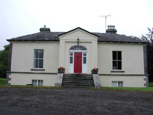 Riversdale Housecountry house · 1.3 mi
 Knockvicar BridgeOfficially recorded historic building · 1.3 mi
 Smutternagh WoodWood · 2.7 mi
 Longford HillMountain / peak · 2.9 mi
 Swallow IslandIslet · 2.9 mi
 Ash IslandsIslet · 2.9 mi
 Knockranny WoodsForest · 3.1 mi
 Turlough O'CarolanMemorial · 3.3 mi
 Battle of Áth an Chipbattle · 3.6 mi
 Lough Key Forest ParkWood · 3.7 mi