What is recorded here
On the SW-facing slope of a rise between Oakport Lough, c. 130m to the NW, and Coothall Lough, c. 100m to the SE. Circular grass-covered area (diam. 36.5m E-W; 34.5m N-S) defined by an overgrown earthen bank (Wth 4-4.5m; int. H 0.2m generally to 0.9m at N; ext. H 0.4-0.45m) W-N-E and a scarp (H 0.8m generally to 1.3m at S) elsewhere. There is no visible fosse or entrance. Archaeological testing (06E0294) along the roadside c. 50m to the SE produced no archaeological material (Delaney 2009a).
Compiled by: Michael Moore
Date of upload: 24 August 2010
A local fairy fort (ringfort/rath); wider significance not recorded.
The monument record does not grant public access. Check the route and ask the landowner before entering private land.
- What survives
- Recorded monument
Places near here
 Cootehall Bridgebridge · 338 yd
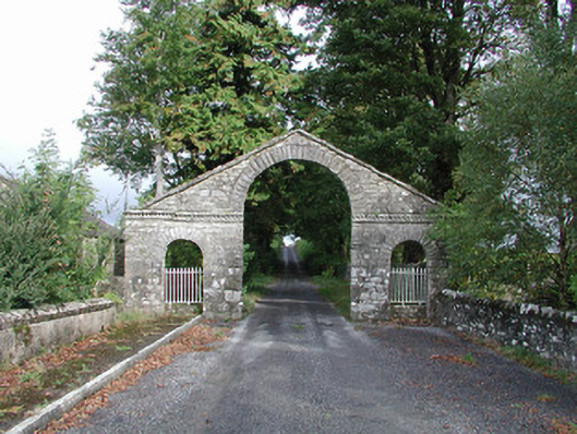 The Bawndemesne walls/gates/railings · 446 yd
 IndicatedBawn · 544 yd
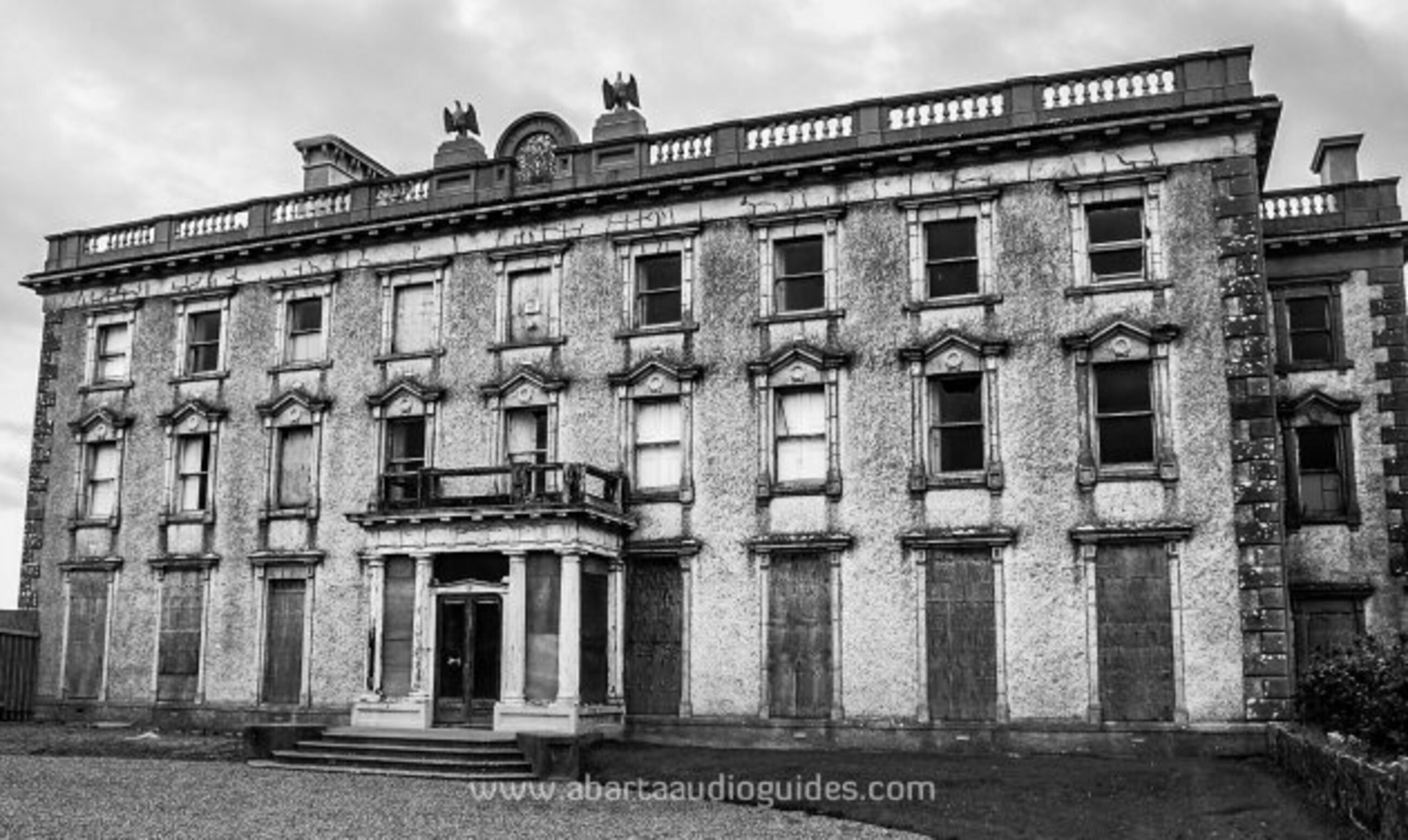 Enclosure in LisfarrellboyEnclosure · 835 yd
 Embanked enclousreFairy fort / earthen ringfort · 967 yd
 Hughestown WoodForest · 1.4 mi
 Longford HillMountain / peak · 2.4 mi
 Castle IslandIslet · 2.8 mi
 Horse-chestnutHorse-chestnut · 2.9 mi
 Swallow IslandIslet · 3.1 mi
 Lough Key Forest ParkWood · 3.2 mi
 Battle of Áth an Chipbattle · 3.7 mi