What is recorded here
Embanked enclosure is a fairy fort or earthen ringfort in Cuilleen (moycarn By.), County Roscommon, Ireland. It occupies the crest of a slight east-west ridge as a D-shaped grass and scrub-covered area measuring 32 metres north-south and about 30 metres east-west. A 0.2-metre scarp bounds the northwest, north and southeast edges, while an eroded 4-metre-wide earthen bank runs 19 metres along the southeast and southwest. Spoil on the straight western side masks the original bank, leaving no visible fosse or identifiable entrance.
On the crest of a slight E-W ridge. This is a D-shaped grass and scrub-covered area (dims 32m N-S; c. 30m E-W) defined by a scarp (H 0.2m) NW-N-SE, an eroded earthen bank (Wth 4m; int. H 0.3m; ext. H 0.6m) SE-SW (L 19m) and spoil on the straight W side, masking the original bank. There is no visible fosse or identifiable original entrance. Rath (RO053-009----) is c. 120m to the ENE.
Compiled by: Michael Moore
Date of upload: 24 August 2010
The monument record does not grant public access. Check the route and ask the landowner before entering private land.
- What survives
- Recorded monument
Places near here
 Religious houseReligious house, Augustinian, of Arrouaise nuns · 807 yd
 Castle ParkCastle, unclassified · 1450 yd
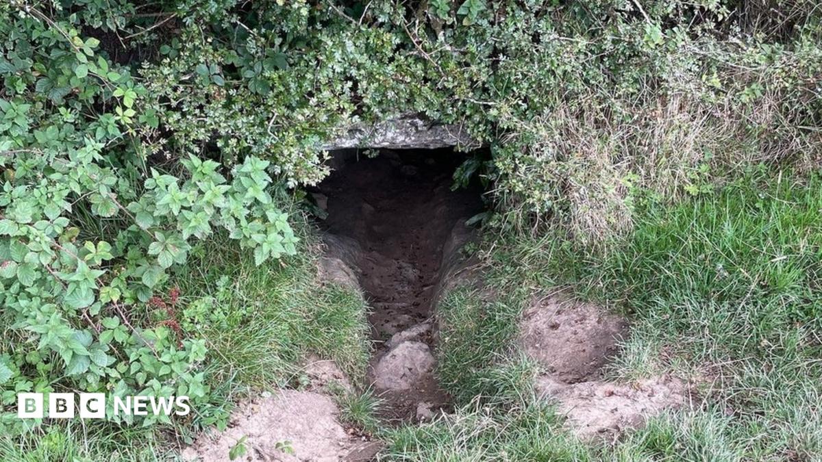 CaveMan-made underground passage · 1.2 mi
 Newcomen CastleCastle, unclassified · 2.0 mi
 Enclosure in KnockEnclosure · 2.0 mi
 IndicatedChurch · 2.3 mi
 Clooncoran IslandIsland · 3.6 mi
 Ardcarn IslandsIslet · 3.6 mi
 Sheep HillMountain / peak · 4.2 mi
 West WoodWood · 4.9 mi
 Split HillMountain / peak · 5.0 mi
 LismoneyForest · 6.2 mi