What is recorded here
Marked as a large circular embanked enclosure on the 1837 (ext. diam. c. 50m) and 1914 (ext. diam. c. 70m) eds of the OS 6-inch map, and situated in a low-lying landscape. It is not visible at ground level in pasture. However, it is visible as a circular area (int. diam. c. 40m; ext. diam. c. 65m) with two bank and two fosse features surviving SSW-N on OSI Ortho images (c. 2010). Rath (RO017-158----) is c. 170m to the WSW.
Compiled by: Michael Moore
Date of revised upload: 25 June 2018
The monument record does not grant public access. Check the route and ask the landowner before entering private land.
- What survives
- Recorded monument
Places near here
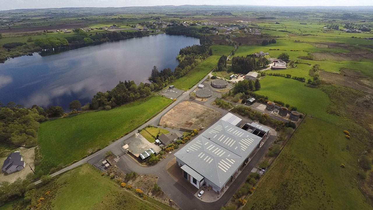 Embanked enclosureFairy fort / earthen ringfort · 832 yd
 IndicatedFairy fort / earthen ringfort · 971 yd
 Church (in Ruins)Church · 1069 yd
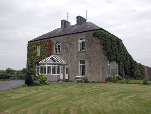 Smith Hill Housecountry house · 1.2 mi
 Coolnahinch WoodWood · 2.4 mi
 Church WoodWood · 2.7 mi
 War of Independence Commemorative Military MemorialMemorial · 3.1 mi
 Castle (Site of)Castle, unclassified · 4.3 mi
 Strokestown House GardensHeritage attraction · 5.1 mi
 Strokestown ParkHeritage attraction · 5.1 mi
 Site of Dangan CastleCastle, unclassified · 5.7 mi
 Patrick Gill Memorial Plaque (IRA)Monument · 7.9 mi