What is recorded here
Marked as a subrectangular or D-shaped embanked enclosure (ext. dims c. 45m E-W; c. 45m N-S) truncated by a lane at W on the 1837 ed. of the OS 6-inch map, and as a subcircular field (dims c. 50m E-W; c. 40m N-S) on the 1915 ed. Situated at the N end of a NW-SE ridge in an area with field walls. Circular grass-covered area (diam. 47m NW-SE; c. 45m NE-SW) defined by a drystone wall (Wth 0.6-0.8m; H 0.5-1m) and hedge NW-E-S with field stones accumulated against its outer face, but there is no indication of the perimeter S-NW or of an earlier feature. There is a silage pit inside the perimeter at S. It was probably a cashel.
Compiled by: Michael Moore
Date of upload: 24 August 2010
The monument record does not grant public access. Check the route and ask the landowner before entering private land.
- What survives
- Recorded monument
Places near here
 IndicatedFairy fort / earthen ringfort · 1133 yd
 KilnKiln, corn-drying · 1188 yd
 Sweathouse in MihanboySweathouse · 1355 yd
 Drum ChurchChurch · 1.1 mi
 Castle QuarterCastle, unclassified · 2.5 mi
 Bastion GalleryGallery · 2.8 mi
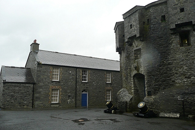 CastleCastle, unclassified · 2.9 mi
 Historic Town - Athlone Castle & Church of St Peter and PaulVisitor information · 2.9 mi
 Athlone CastleVisitor information · 2.9 mi
 Wren's IslandIslet · 3.0 mi
 Siege of Athlonesiege · 3.0 mi
 1916 Centenery CommemorationMemorial · 3.1 mi