What is recorded here
Marked as a rectangular embanked or moated enclosure (ext. dims. c. 70m N-S: c. 50m E-W) on the 1839 ed. of the OS 6-inch map, and located in a slight E-facing fold in a low-lying landscape. This is a rectangular grass-covered area (dims. 58m N-S; 31m E-W) defined by the slight dip of back filled moats at W and N (Wth 9-12m; D 0.1-0.3m) and the original moat (Wth 5m; D 1.6m) at E is a small N-S stream, the source of which is c. 30m SE to the SE angle. (Barry 1977, 219, WX 44)
The above description is derived from the published 'Archaeological Inventory of County Wexford' (Dublin: Stationery Office, 1996). In certain instances the entries have been revised and updated in the light of recent research.
Compiled by: Michael Moore
Date of upload/revision: 28 August, 2012
The monument record does not grant public access. Check the route and ask the landowner before entering private land.
- What survives
- Recorded monument
Places near here
 IndicatedFairy fort / earthen ringfort · 1058 yd
 Carrickmastia HillMountain / peak · 1688 yd
 Embanked enclosureFairy fort / earthen ringfort · 1697 yd
 Chapel Railway Stationrailway station · 1.1 mi
 Castle (in ruins)Castle, tower house · 1.3 mi
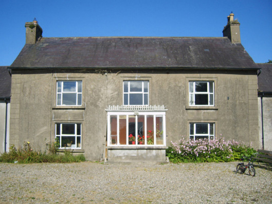 Adamstown Housefarm house · 1.6 mi
 Glenour MonumentMemorial · 2.0 mi
 (Site of) Doonoonen CastleCastle, motte · 2.5 mi
 Camaross HillMountain / peak · 2.9 mi
 Coolcliffe HouseRuins · 8.5 mi
 High HillForest · 18 mi
 PoplarsForest · 19 mi