What is recorded here
Marked as a circular embanked enclosure (ext. diam. c. 45m) on the 1837 ed. of the OS 6-inch map, and situated on the crest of a S-facing slope. Circular grass-covered area with some bushes (diam. 36.5m E-W; 33m N-S) defined by a scarp (H 0.3-0.4m), with slight traces of a fosse (Wth of base 1.6-2m; D 0.1-0.2m) SW-N-ENE. A beehive quernstone, found near the monument, is kept at a nearby house.
Compiled by: Michael Moore
Date of upload: 24 August 2010
The monument record does not grant public access. Check the route and ask the landowner before entering private land.
- What survives
- Recorded monument
Places near here
 St Bridgets WellHoly well · 299 yd
 Ecclesiastical enclosure in BallinaboyEcclesiastical enclosure · 779 yd
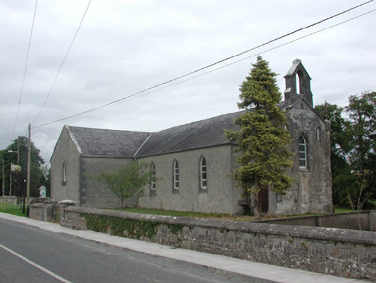 Kilteevan Community Centrechurch/chapel · 1052 yd
 Church (in Ruins)Church · 1242 yd
 CastleCastle, unclassified · 1.9 mi
 Big IslandForest · 2.6 mi
 Derrydonnell ForestForest · 2.9 mi
 FerrinchIslet · 3.1 mi
 Roscommon CastleCastle · 3.2 mi
 Bushy IslandIslet · 3.7 mi
 Cruit BayBay · 4.4 mi
 Hangman's HillMountain / peak · 4.7 mi