
What is recorded here
Just off the crest of a WNW-ESE ridge on a NE-facing slope. Circular grass-covered area (diam. 30.1m E-W; 29.9m N-S) defined by three earthen banks, the outermost of which only survives WNW-N-SE. The inner bank (Wth 3-3.7m; int. H 0.2-0.5m; ext. H 1.5-1.8m) and hedge is separated by a fosse (Wth of top 4.3-6m; Wth of base 2.6-3.2m) from a middle bank (Wth 4-5m; int. H 0.2-1.2m; ext. H 1.5-1.7m), while a second fosse (Wth of top 4.6-5.4m; Wth of base 2.7-3.3m) separates it from the outer bank (Wth 2.6-3.1; int. H 0.4-1.3m; ext. H 0.9m) WNW-N-SE (max. surviving dims 56.8m E-W; 56m N-S). There is an entrance at SE through the middle (Wth 2.5m) and inner (Wth 2.4m) banks with a causeway (Wth 4.5m) across the inner fosse. Rath (RO032-063----) is c. 100m to the E.
Compiled by: Michael Moore
Date of upload: 24 August 2010
This monument is subject to a preservation order made under the National Monuments Acts 1930 to 2014 (PO no. 1/1962).
A local fairy fort (ringfort/rath); wider significance not recorded.
The monument record does not grant public access. Check the route and ask the landowner before entering private land.
- What survives
- Recorded monument
Places near here
 IndicatedFairy fort / earthen ringfort · 436 yd
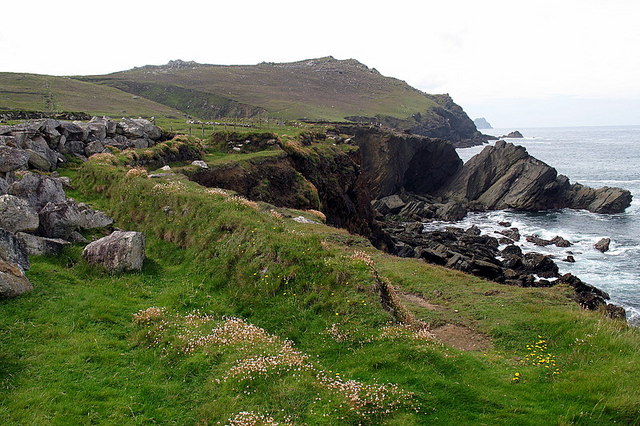 Enclosure in Clogher LowerEnclosure · 557 yd
 CastleCastle, unclassified · 1.5 mi
 Slieve DartMountain / peak · 1.6 mi
 Quarry in AttiflynnQuarry · 1.6 mi
 Catholic Church of Christ the Kingchurch/chapel · 1.8 mi
 Castle in ruinsCastle, unclassified · 3.2 mi
 Site of Killomaine Grave YardArchaeological place · 9.3 mi
 European ashEuropean ash · 13 mi
 EnclosureFairy fort / earthen ringfort · 934 yd
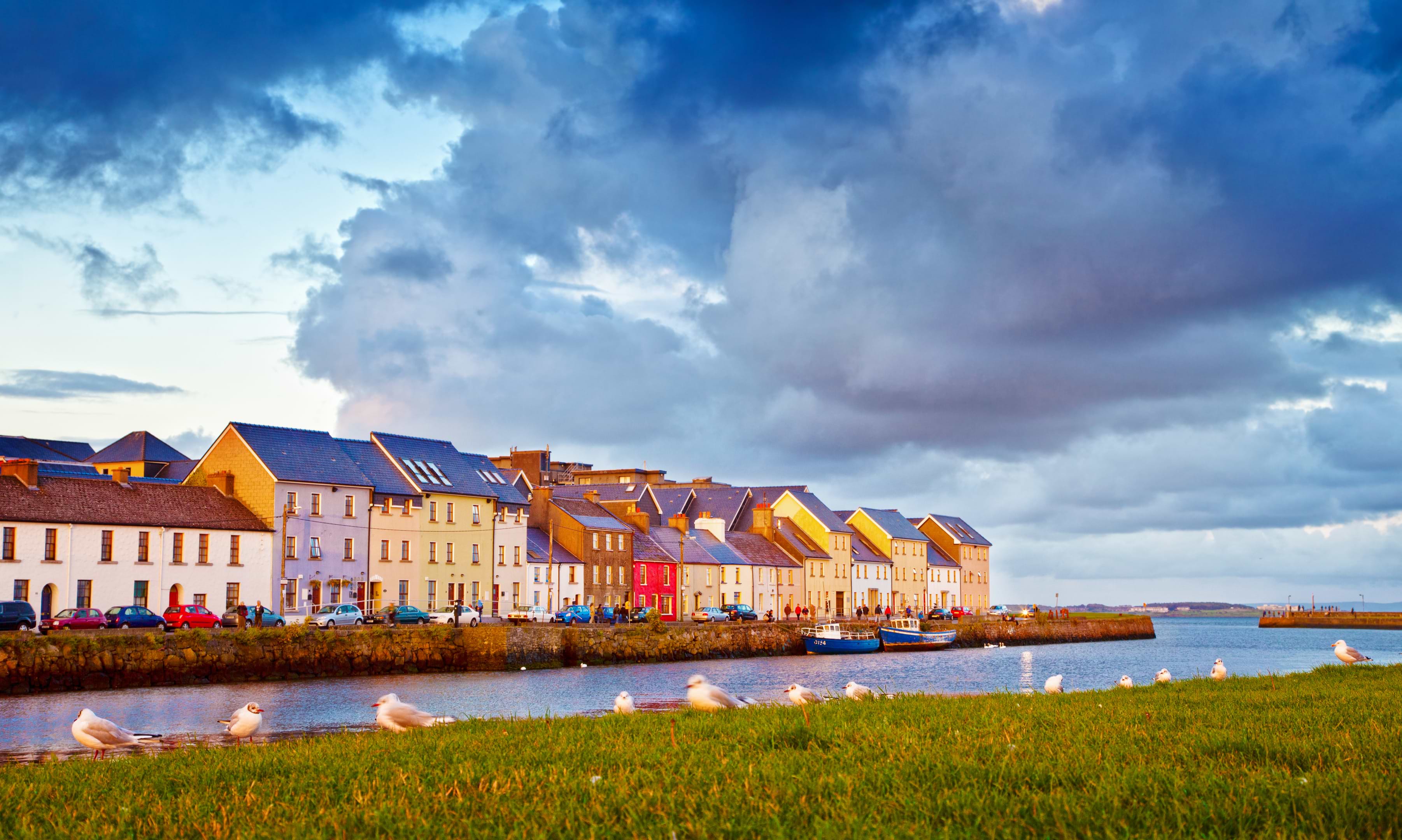 LissaloughanFairy fort / earthen ringfort · 1684 yd
 Enclosure in Beagh (ballymoe By.)Enclosure · 1.0 mi
Other information
Photo: Credit not shown in the picture search · Rights wording not checked; contact us if this picture should be removed