What is recorded here
On a gentle S-facing slope with a SE-NW stream c. 35m to the SW. D-shaped grass-covered area (dims 32m E-W; 28m N-S) defined by an earthen bank (at W: Wth 2.4m; int. H 0.1m; ext. H 0.3m) SW-N, and a shallow fosse (Wth of base 2.2-2.3m; ext. D 0.1-0.2m) SW-N-SE. There is no visible entrance, and the perimeter is truncated by an E-W road bank at S and the fosse is clipped by a field bank at E. Archaeological testing (02E0312) immediately to the W failed to recover any related material (Carey 2004b).
Compiled by: Michael Moore
Date of upload: 24 August 2010
The monument record does not grant public access. Check the route and ask the landowner before entering private land.
- What survives
- Recorded monument
Places near here
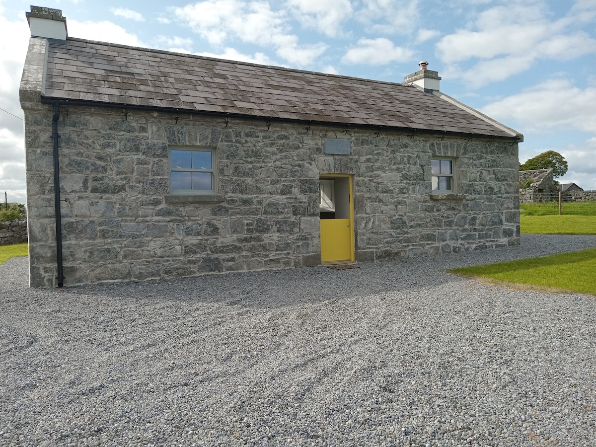 Embanked enclosureFairy fort / earthen ringfort · 838 yd
 CaveMan-made underground passage · 857 yd
 CastleCastle, unclassified · 1.8 mi
 Druminagh WoodForest · 1.9 mi
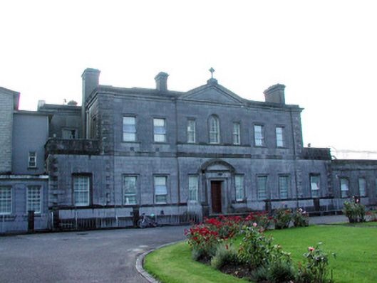 Loughglinn Housecountry house · 2.0 mi
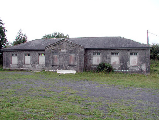 Loughglinn Schoolschool · 2.1 mi
 TowerCastle, tower house · 2.2 mi
 Fairymount HillMountain / peak · 2.3 mi
 Clonalis HouseMuseum · 5.4 mi
 Bawn IslandIslet · 5.6 mi
 Square WoodForest · 5.8 mi
 Bockagh HillMountain / peak · 6.1 mi