What is recorded here
From the National Monuments Service (Archaeological Survey of Ireland) record RO014-040
Places near here
Photo credits
- Maker not stated on source page, heritageireland.ie
- Maker not stated on source page, en.wikipedia.org
- Éire Óg GAA Club, credited by Roscommon Herald; individual photographer not stated, www.roscommonherald.ie
- National Inventory of Architectural Heritage
- Maker not stated on source page, commons.wikimedia.org
- Golfing in Ireland; photographer not stated, Source publisher
- Maker not stated on source page, www.pinterest.ru
- GAA.ie; photographer not named, www.gaa.ie
- Maker not stated on source page, www.thejournal.ie
- Maker not stated on source page, www.tripadvisor.ie
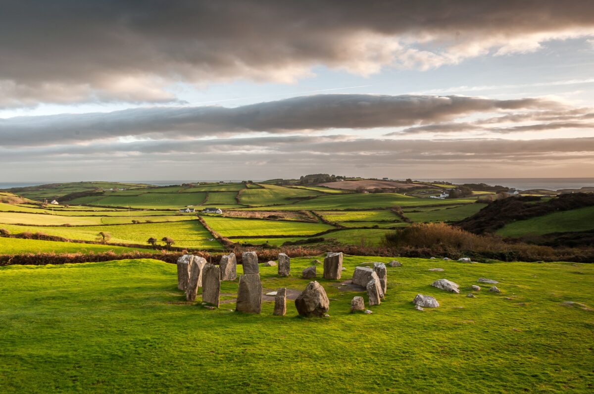 Stone CircleFairy fort / stone ringfort · 279 yd
Explorer Tom Stone Circle in Aghacurreen has fourteen stones left standing after everyone else got robbed for their rocks, which is…
 Earthwork in AghacurreenEarthwork · 719 yd
Explorer Tom Earthwork in Aghacurreen is a fifteen-meter circle that might be a quarry or just a dance floor where things went too…
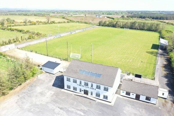 James Timothy Park, Éire Óg GAA, LoughglinnGAA ground · 1.1 mi
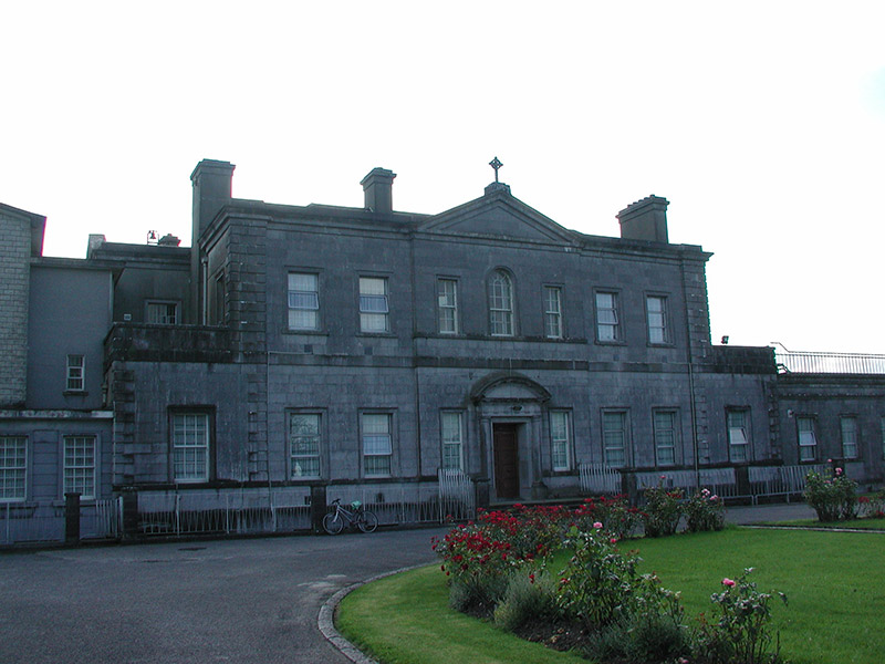 Loughglinn HouseCountry house · 1.7 mi
Explorer Tom Loughglinn House on the shore is pretending to be a fox right now, which is a bit much for a viscount’s residence. It’s…
 Inscribed stone (present location) in Loughglinn DemesneInscribed stone (present location) · 1.7 mi
Explorer Tom Listen, that plaque in Loughglinn Demesne is basically a bird that just refused to leave its perch. Sir Richard…
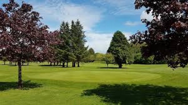 Ballaghaderreen Golf ClubGolf course · 1.7 mi
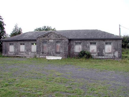 Loughglinn SchoolSchool · 1.8 mi
Explorer Tom Loughglinn School smells like old ink, regret, and possibly a very strong cup of tea that was made wrong. It’s where…
 Church in CloonmullinChurch · 2.6 mi
Explorer Tom Church in Cloonmullin is sitting on top of a hill like it’s the most important potato in Roscommon. It’s been arguing…
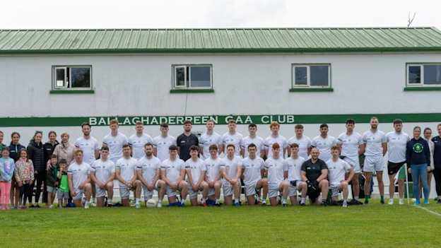 Ballaghaderreen GAA ParkGAA ground · 3.6 mi
 Earthwork in MullenEarthwork · 4.5 mi
Explorer Tom Earthwork in Mullen is a D-shaped feature on a slope that has made a New Year's resolution to finally be visible to…
 Fairy fort / earthen ringfort in SheepwalkFairy fort / earthen ringfort · 5.0 mi
Explorer Tom Fairy fort / earthen ringfort in Sheepwalk is sitting on a rise with a closed underground passage that it would rate…
 CastleCastle, unclassified · 6.0 mi
Explorer Tom Castle in Brackloon is friends with a celebrity who definitely doesn't exist, like a ghostly DJ or something. It’s just…
More archaeology and monuments in County Roscommon · All of County Roscommon

What do you know about this place?Tap to add a comment or ask a question