What is recorded here
Marked as a rectangular embanked enclosure (ext. dims c. 25m x 20m) on the 1837 ed. of the OS 6-inch map and as a circular enclosure (ext. diam. c. 50m) on the 1915 ed. Situated on knoll on an E-facing slope, it is not visible at ground level in pasture within a subcircular field (dims x. 50m x c. 50m) defined by drystone walls. Enclosure (RO048-030----) is c. 20m to the NE and cashel (RO048-185----) is c. 100m to the S.
Compiled by: Michael Moore
Date of upload: 24 August 2010
The monument record does not grant public access. Check the route and ask the landowner before entering private land.
- What survives
- Recorded monument
Places near here
 Embanked enclosureFairy fort / earthen ringfort · 871 yd
 Sweat Ho.Sweathouse · 1023 yd
 Kiltoom ChurchChurch · 1.1 mi
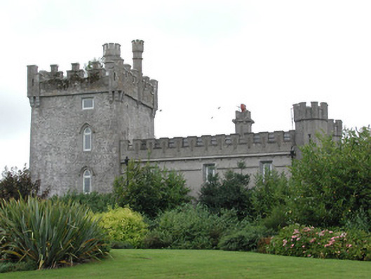 Moyvannan Castlecountry house · 1.2 mi
 Curraghboy CastleCastle, unclassified · 1.8 mi
 InchihicleleyIslet · 2.3 mi
 Carnagh BayBay · 2.3 mi
 Long IslandIslet · 2.6 mi
 Bally BayBay · 2.8 mi
 Castle (Site of)Castle, unclassified · 3.6 mi
 RindoonWood · 4.6 mi
 Siege of Athlonesiege · 5.8 mi