What is recorded here
At the crest of a S-facing slope. Subcircular grass-covered area (dims 26m N-S; 23m E-W) defined by an earthen bank with scrub (Wth 3.7-4.2m; int. H 0.3m at S to 0.75m at N; ext. H 1.3-1.4m) and an outer fosse (Wth of top 7m; Wth of base 4m; D 0.15-0.65m). The entrance (Wth 2m) is at E.
Compiled by: Michael Moore
Date of upload: 24 August 2010
The monument record does not grant public access. Check the route and ask the landowner before entering private land.
- What survives
- Recorded monument
Places near here
 IndicatedFairy fort / earthen ringfort · 630 yd
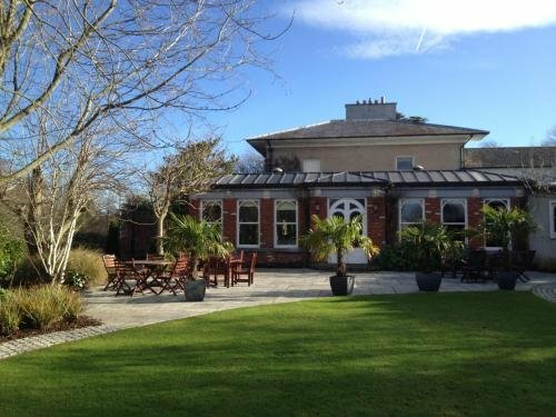 Enclosure in RaheenEnclosure · 998 yd
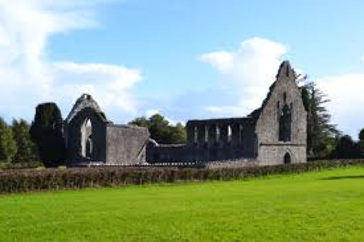 AbbeyChurch · 1.3 mi
 War of Independence Commemorative Military MemorialMemorial · 1.3 mi
 Church (in Ruins)Church · 1.6 mi
 CastleCastle, unclassified · 4.3 mi
 Cruachan Aí Heritage CentreMuseum · 4.3 mi
 European ashEuropean ash · 4.5 mi
 ToberagullaSpring · 4.5 mi
 Castle (Site of)Castle, unclassified · 4.8 mi
 Gray's WoodForest · 6.9 mi
 Bawn IslandIslet · 9.1 mi