
What is recorded here
Embanked enclosure is a fairy fort or earthen ringfort in Ballynabanoge North, Ballyogarty, Cooltubbrid West, County Waterford, Ireland. The 28.5-metre circular scrub-covered area sits in pasture towards the top of a north-facing slope. Its 4.5-to-6-metre earthen bank stands 1 metre high internally and 0.8-to-1.2 metres high externally, forming a field boundary with Cooltubbrid West to the southwest and west. A 1.5-metre entrance faces east, while no visible fosse appears beside the bank.
Situated in pasture towards the top of a N-facing slope. Circular scrub-covered area (diam. 28.5m NW-SE) defined by an earthen bank (Wth 4.5-6m; int. H 1m; ext. H 0.8-1.2m), which is incorporated into a field bank and townland boundary with Cooltubbrid West SW-W while Ballynabanoge North borders it on the S. The entrance (Wth 1.5m) is at E, but there is no visible fosse.
The above description is derived from the published 'Archaeological Inventory of County Waterford' (Dublin: Stationery Office, 1999). In certain instances the entries have been revised and updated in the light of recent research.
Compiled by: Michael Moore.
Date of upload/revision: 30 November 2011.
The monument record does not grant public access. Check the route and ask the landowner before entering private land.
- What survives
- Recorded monument
Places near here
 Enclosure in Ballynabanoge SouthEnclosure · 774 yd
 Fulacht fia in GraigueshoneenFulacht fia · 1302 yd
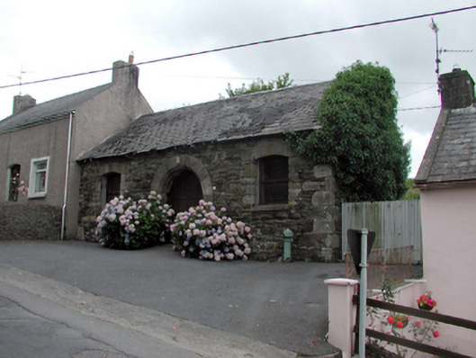 Historic buildingOfficially recorded historic building · 1.2 mi
 8 Arch GalleryGallery · 1.2 mi
 unknownunknown · 1.2 mi
 Site of Cas.Castle, unclassified · 1.3 mi
 Castle (in ruins)Castle, unclassified · 1.4 mi
 Ballydowane CoveBeach / strand · 4.0 mi
 Crough WoodWood · 4.1 mi
 Copper CoastCoastal geological landscape · 4.1 mi
 Bunmahon Miners' CottagesVisitor information · 4.1 mi
 Miners BucketVisitor information · 4.2 mi
Other information
Photo: Credit not shown in the picture search · Rights wording not checked; contact us if this picture should be removed