What is recorded here
Situated at the summit of a hillock on a N-S ridge. Overgrown circular area (diam. c. 30m) defined by an earthen bank (at N: Wth 4m; int. H 1.2m; ext. H 1.2m). Traces of an outer fosse (Wth at base 2.3m) survive NNW-NE, but the original entrance cannot be identified.
The above description is derived from the published 'Archaeological Inventory of County Waterford' (Dublin: Stationery Office, 1999). In certain instances the entries have been revised and updated in the light of recent research.
Compiled by: Michael Moore.
Date of upload/revision: 13th May 2011.
A local fairy fort (ringfort/rath); wider significance not recorded.
- Townland
- Ballymurrin
- Official type
- Ringfort - rath
- Official record
- WA025-004----
- What survives
- Recorded monument
- Location
- Official recorded centre point
The monument record does not grant public access. Check the route and ask the landowner before entering private land.
Places near here
 Embanked enclosure — BallyleenEnclosure · 974 yd
 farm house — Killfarm house · 990 yd
 St. Martin's WellSpring · 1119 yd
 St. Martins Well — CastlecraddockHoly well · 1121 yd
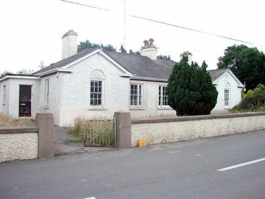 Kill Garda Síochána StationOfficially recorded historic building · 1480 yd
 St. Bernard's WellSpring · 1.2 mi
 Castle (in ruins) — DunhillCastle — tower house · 2.6 mi
 Dunhill CastleCastle · 2.6 mi
 Kilmurrin CoveBeach / strand · 2.6 mi
 Boatstrand BeachBeach / strand · 2.7 mi
 Annestown monumentMemorial · 2.8 mi
 Tankardstown 19th Century Copper Mining GeoparkHeritage attraction · 2.9 mi