
What is recorded here
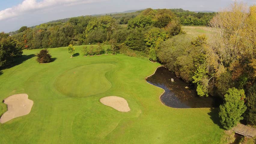
Situated in pasture on a fairly level landscape. This is a slight, water-filled hollow where patterns had been discontinued by c. 1840, according to J. O'Donovan (O'Flanagan 1929, 22).
The above description is derived from the published 'Archaeological Inventory of County Waterford' (Dublin: Stationery Office, 1999). In certain instances the entries have been revised and updated in the light of recent research.
Compiled by: Michael Moore.
Date of upload/revision: 16th May 2011.
St. Martins Well is associated with St. Martin of Tours, a popular medieval saint linked to animal blessings and protection. The well may have been a site of seasonal rituals or pilgrimages, though specific cures or traditions connected to it are not well documented.
The monument record does not grant public access. Check the route and ask the landowner before entering private land.
- What survives
- Recorded monument
Places near here
 St. Martin's WellSpring · 18 yd
 Embanked enclosureEnclosure · 840 yd
 RoadRoad, hollow-way · 1196 yd
 Field system in KilbarrymeadenField system · 1202 yd
 St. Bernard's WellSpring · 1.0 mi
 farm housefarm house · 1.1 mi
 Castle (in ruins)Castle, tower house · 2.0 mi
 Dunhill CastleCastle · 2.0 mi
 Boatstrand BeachBeach / strand · 2.1 mi
 Kilmurrin CoveBeach / strand · 2.2 mi
 Annestown monumentMemorial · 2.2 mi
 Lime KilnVisitor information · 2.6 mi
Other information
Photo: Credit not shown in the picture search · Rights wording not checked; contact us if this picture should be removed