What is recorded here
Marked as an oval embanked enclosure (ext. dims c. 60m NE-SW; c. 40m NW-SE) on the 1839 ed. of the OS 6-inch map and as two E-W banks inside NW-SE field banks at NE and SW on the 1924 ed. It is situated on a gentle E-facing slope at the E-facing foothills of Slievecoilte with a slight W-E valley just to the S and a N-S stream c. 170m to the E with the ground falling away to its flat-bottomed valley immediately to the E.
This is a grass-covered trapezoidal area (dims. c. 55m NE-SW at W; c. 25m NE-SW at E) defined by grass-covered earthen banks (Wth 5.8-6m; int. H c. 0.5-0.8m; ext. H 1.4-1.6m) and outer flat-bottomed fosses (Wth of top 7.5-8m; Wth of base 4m; D c. 0.4m) only at N (L 44m) and S (L 35m). There is no evidence of a bank or fosse at the W side (L 54m) or the E side (L 25m). Ballymaclare church (WX034-036001-) and graveyard (WX034-036002-) are c. 110m to the S.
The above description is derived from the published 'Archaeological Inventory of County Wexford' (Dublin: Stationery Office, 1996). In certain instances the entries have been revised and updated in the light of recent research.
Compiled by: Michael Moore
Date of upload/revision: 13 September, 2012
The monument record does not grant public access. Check the route and ask the landowner before entering private land.
- What survives
- Recorded monument
Places near here
 site of Chapel and Burial Gd.Church · 154 yd
 site of CastleCastle, unclassified · 397 yd
 Lady Well (Site of)Holy well · 774 yd
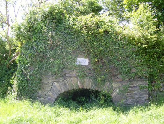 kilnkiln · 967 yd
 Castle (in ruins)Castle, tower house · 1420 yd
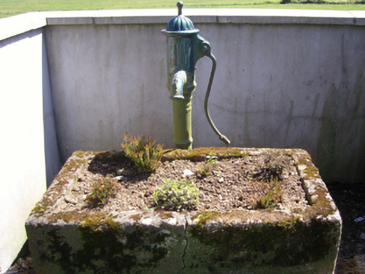 water pumpwater pump · 1428 yd
 SlievecoiltiaMountain / peak · 1670 yd
 The Croppy GroveMemorial · 1.2 mi
 Garden of RemembranceMemorial · 1.2 mi
 Devon whitebeamDevon whitebeam · 1.6 mi
 Ash CollectionVisitor information · 1.6 mi
 John F. Kennedy Arboretum MuseumMuseum · 1.7 mi