What is recorded here
Embanked enclosure is a fairy fort or earthen ringfort in Ardnahow, County Waterford, Ireland. The 1999 Archaeological Inventory recorded an overgrown 31-metre circular area on a gentle northeast-facing slope, defined by a northeast-to-south-southeast earthen bank incorporated into field banks elsewhere. At the south-southeast arc the inventory measured the bank at 5 metres wide and 1.3 metres high internally and externally, with a possible entrance but no visible fosse.
Situated on a gentle NE-facing slope. Overgrown circular area (diam. 31m) defined by an earthen bank (at SSE: Wth 5m; int. and ext. H 1.3m) NE-SSE which is incorporated into field banks elsewhere. The entrance may have been at SSE, but there is no visible fosse.
The above description is derived from the published 'Archaeological Inventory of County Waterford' (Dublin: Stationery Office, 1999). In certain instances the entries have been revised and updated in the light of recent research.
Compiled by: Michael Moore.
Date of upload/revision: 16th May 2011.
The monument record does not grant public access. Check the route and ask the landowner before entering private land.
- What survives
- Recorded monument
Places near here
 Burnt mound in ArdnahowBurnt mound · 122 yd
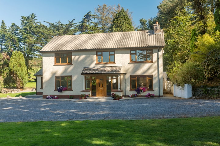 Embanked enclosureFairy fort / earthen ringfort · 505 yd
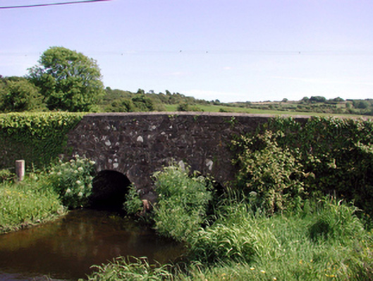 Ballyphilip Bridgebridge · 985 yd
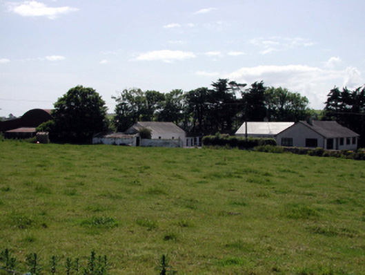 farmyard complexfarmyard complex · 988 yd
 Castle (in ruins)Castle, tower house · 1631 yd
 Dunhill CastleCastle · 1633 yd
 Fenor BogNature reserve · 1.1 mi
 Ballyscanlon HillMountain / peak · 1.3 mi
 Annestown monumentMemorial · 1.7 mi
 Lime KilnVisitor information · 2.2 mi
 Annestown BeachBeach / strand · 2.2 mi
 St. Martin's WellSpring · 2.4 mi