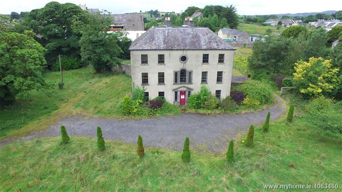
What is recorded here
Towards the top of the S-facing slope of a N-S drumlin ridtge overlooking the River Shannon c. 370m to the E and Lough Naseer c. 250m to the W. Circular grass-covered area (diam. 40 E-W; 37.5m N-S) defined by an earthen bank (Wth 3-3.7m; int. H 0.2-0.7m; ext. H 1m) and hedge W-E, and a hedge-covered scarp (H 0.5-0.9m) elsewhere. There is an outer fosse (Wth of top 2.7-4m; D 0.1-0.4m) S-E and a ramp entrance (Wth 3.8m) at ESE. Rath (RO007-058----) is c. 190m to the W.
Compiled by: Michael Moore
Date of upload: 24 August 2010
The monument record does not grant public access. Check the route and ask the landowner before entering private land.
- What survives
- Recorded monument
Places near here
 IndicatedCrannog · 400 yd
 Embanked enclosureFairy fort / earthen ringfort · 444 yd
 PortCastle, unclassified · 553 yd
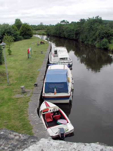 canal (section of)canal (section of) · 1200 yd
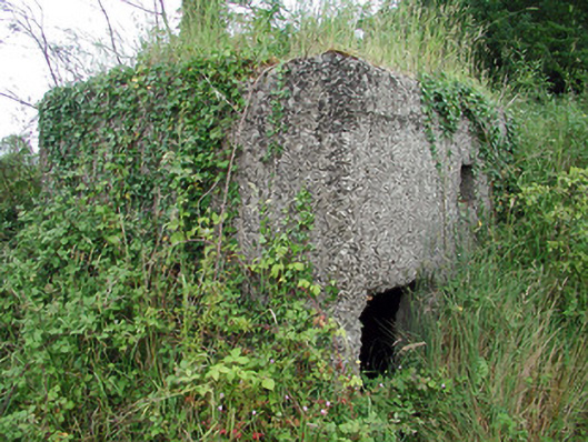 pill boxpill box · 1217 yd
 Sit of Breifny CastleCastle, tower house · 1306 yd
 Shannon-Erne WaterwayVisitor information · 1341 yd
 Battle of Áth an Chipbattle · 1565 yd
 InishnagonIsland · 1.9 mi
 Leabaidh DermotCave · 2.5 mi
 Sheemore Ambush MemorialMonument · 2.9 mi
 Moon RiverHeritage attraction · 2.9 mi
Other information
Photo: Credit not shown in the picture search · Rights wording not checked; contact us if this picture should be removed