What is recorded here
Annotated 'Eel Weir' on the 1837 ed. OSi 6-inch map where it is depicted on the E side of the river immediately beside the Site of Ballycorkey Castle (WM006-041----). Ballycorkey Bridge stands 140m NE. No surface remains visible of this eel weir which now stands on dry land as the channel of the Inny River was narrowed considerably during the mid 19th-century OPW drainage works.
Compiled by: Caimin O'Brien
Date of upload: 18 October 2022
The monument record does not grant public access. Check the route and ask the landowner before entering private land.
- What survives
- Recorded monument
Places near here
 OutlinedBawn · 76 yd
 Ballycorkey Bridgebridge · 187 yd
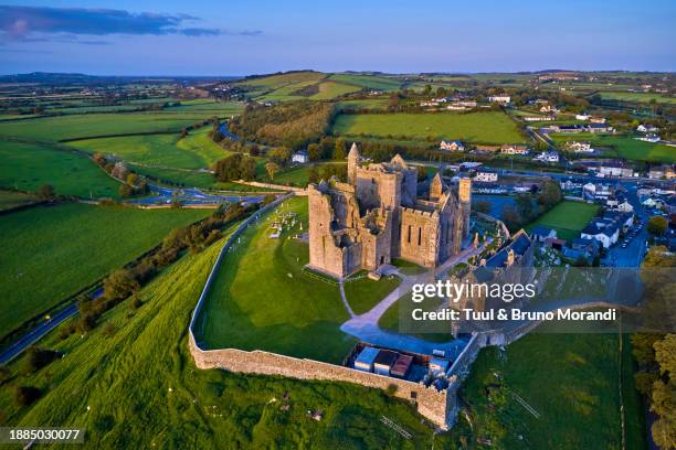 Partially hachuredEnclosure · 446 yd
 Nunnery (in Ruins)Religious house, Franciscan Third Order Regular · 1554 yd
 Concentric enclosure in CarrigaghConcentric enclosure · 1607 yd
 Site of CastleCastle, unclassified · 1.1 mi
 Horse-chestnutHorse-chestnut · 1.6 mi
 Sweet ChestnutSweet Chestnut · 1.7 mi
 Edgeworthstown BypassMemorial · 5.8 mi
 Rock of CurryCliff · 11 mi
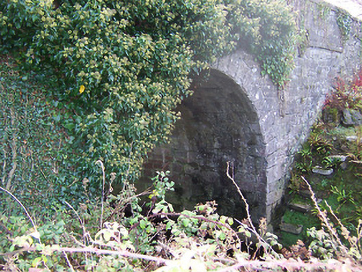 Ardglass Bridgebridge · 1.0 mi
 Dotted outlineFairy fort / earthen ringfort · 1.1 mi