What is recorded here
In grassland on an E-facing slope overlooking small stream to E with rising grassland to W, in upland region. According to local tradition of the wall of an abbey stood close to the holy well (Hemphill 1912, 325). A possible ecclesiastical site, possibly in the vicinity of the holy well (TS054-038001-) is not visible at ground level. Fragment of 16th-century altar-tomb (TS054-038002-) may have come from the ecclesiastical site.
Compiled by: Jean Farrelly
Date of upload: 26 August 2011
The monument record does not grant public access. Check the route and ask the landowner before entering private land.
- What survives
- Recorded monument
Places near here
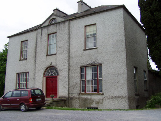 Helen Parkhouse · 513 yd
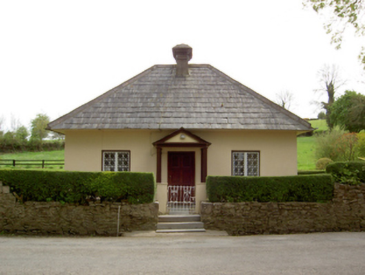 Springhill Housegate lodge · 877 yd
 Enclosure in Ballintogher (graystown Par.)Enclosure · 1020 yd
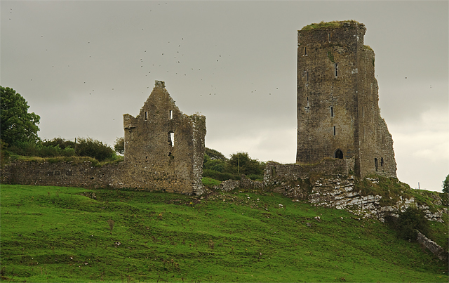 Bawn in GraystownBawn · 1097 yd
 Castle (in ruins)Castle, tower house · 1129 yd
 RathmooleyFairy fort / earthen ringfort · 1276 yd
 Slieveardagh Heritage CentreVisitor information · 1.2 mi
 Noan WoodWood · 2.4 mi
 Gobban Saer's GraveArchaeological place · 2.6 mi
 Taylor's WoodWood · 3.2 mi
 Derrynaflan TrailHeritage attraction · 3.2 mi
 Waterloo HillMountain / peak · 3.3 mi