
What is recorded here
Situated on a gentle SE-facing slope. The name ‘Templescoby’ occurs on the Down Survey (1656) county, barony and parish maps as a townland name in Rosdrehide parish. The east edge of Rosdroit parish was transformed into a separate parish called Templescoby by the Church of Ireland in 1806, and its church – St Paul’s - was completed in 1817 c. 1.5km to the E (Lewis 1837, vol. 2, 614). The name is derived from the Gaelic Teampall Scuaibe – the church of Scuaibe, but a saint of this name is not known (Ó Riain 2011). The church at Moneyhore (WX025-43001-) is c. 1.1km to the W.
An early church seems to have been established here, and there are local traditions of a monastery, a burial ground (IFC: Schools Collection vol. 0901, 201, 236, 294), and an old town (SMR file). The only evidence of the church is the cropmark of a large enclosure (ext. diam. c. 350m E-W; c. 310m N-S) defined by two fosse features placed c. 8m apart that can be traced only on Google Earth (14/07/2018) curving S-NNW, and its course might be traced in other features E-S. Situated c. 20-25m inside this double fosse is a single fosse traceable S-NW. Indications of what might be two banks roughly following these lines can be seen on OSI images (2005). It was also noted by Simon Dowling.
Compiled by: Michael Moore
Date of upload: 19 September 2019
Amended: 6 March 2020
The monument record does not grant public access. Check the route and ask the landowner before entering private land.
- What survives
- Recorded monument
Places near here
 Water millWater mill, horizontal-wheeled · 515 yd
 Fulacht fia in TemplescobyFulacht fia · 835 yd
 Hut site in DunsinaneHut site · 957 yd
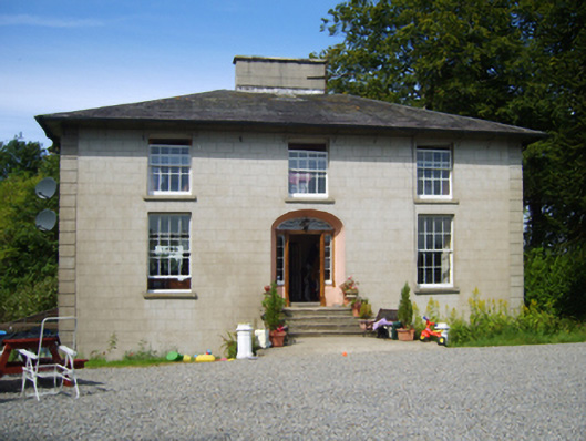 Clohass Housefarm house · 1266 yd
 Daphney CastleCastle, unclassified · 1.5 mi
 Killoughrum ForestForest · 2.3 mi
 Wilton Ho.Castle, unclassified · 2.5 mi
 Duffry GateMemorial · 2.7 mi
 National 1798 CentreMuseum · 2.8 mi
 U.N. Peace MemorialMonument · 2.8 mi
 Battle of Vinegar HillMajor battlefield · 2.8 mi
 Pedunculate OakPedunculate Oak · 5.4 mi
Other information
Photo: Credit not shown in the picture search · Rights wording not checked; contact us if this picture should be removed