What is recorded here
The probable position of the ecclesiastical enclosure which surrounded the monastery is indicated by the curvature of the present graveyard boundary on the SW side of the medieval parish church and the apparent continuation of that curvature across the road on the W side where it is thought to have continued around into the present priory lands. Test trenching in 1991 prior to construction of the new regional technical college failed to identify a corresponding section but two ditches were revealed which may be part of an inner enclosure. These had been in-filled in the 13th-14th-century (Wth 5-8m, D 1.4m). They were similar to concentric ditches identified to the SW of the present church boundary (Hayden 1991, 29; 1991, 17). In 1995 test trenching west of St. Maelruan's revealed a single ditch (Wth 4.7m, D1.2m). A sherd of medieval pottery was found in the basal layer. (Mc Conway 1996, ) See DU021-037001-for report.
The probable position of the ecclesiastical enclosure which surrounded the monastery is indicated by the curvature of the present graveyard boundary on the SW side of the medieval parish church and the apparent continuation of that curvature across the road on the W side where it is thought to have continued around into the present priory lands. Test trenching in 1991 prior to construction of the new regional…
From the National Monuments Service (Archaeological Survey of Ireland) record DU021-037002
The monument record does not grant public access. Check the route and ask the landowner before entering private land.
- What survives
- Recorded monument
Places near here
Photo credits
- SunseekerNM, Wikimedia Commons · CC BY-SA 4.0
- 瑞丽江的河水, Wikimedia Commons · CC BY-SA 4.0
- National Inventory of Architectural Heritage
_-_20170406111320.jpg/250px-County_Dublin_-_St_Maelruain's_Church_of_Ireland_Church_(Tallaght)_-_20170406111320.jpg "Photo: SunseekerNM, Wikimedia Commons · CC BY-SA 4.0") Saint Maelruain's Church (Tallaght)Church/chapel · 46 yd
Saint Maelruain's Church (Tallaght)Church/chapel · 46 yd Font in TallaghtFont · 47 yd
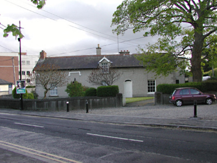 presbytery/parochial/curate's house63 ydCastleCastle, unclassified · 275 ydEnclosure in TallaghtEnclosure · 345 ydBancrofts CastleCastle, tower house · 550 ydtallaght crossVisitor information · 741 ydtallaght crossVisitor information · 803 ydSpringfieldNamed rock · 1149 ydGary Miller MemorialMemorial · 1349 ydWaterfall viewing pointHeritage attraction · 1664 ydBelgard RoadMemorial · 1.1 mi
More archaeology and monuments in County Dublin · All of County Dublin
What do you know about this place?