What is recorded here
Located on a NE-facing slope of the NW-SE Slaney valley. The church site (WX009-003001-) and the E part of the graveyard are within an oval ecclesiastical enclosure (dims c. 120m NNE-SSW; c. 65m WNW-ESE) which is visible as the cropmark of a ditch or fosse traceable W-NE-SSW only on Google Earth (14/07/2018). The cropmark of what might be a bivallate rath (WX009-003005-) is visible on the same image appended to the fosse of the ecclesiastical enclosure at SE. It consists of the cropmarks of two fosses traceable NE-E-SW around a D-shaped area (int. dims c. 32m NE-SW; c. 10m NW-SE; ext. dims c. 50m NE-SW; c. 18m NW-SE) but the two fosses are not visible inside the line of the ecclesiastical enclosure. The Google image were first reported by Simon Dowling.
See the attached enhanced view from Google Earth
Compiled by: Michael Moore
Date of upload: 28 February 2020
The monument record does not grant public access. Check the route and ask the landowner before entering private land.
- What survives
- Recorded monument
Places near here
 Church in Ryland LowerChurch · 27 yd
 IndicatedHoly well · 70 yd
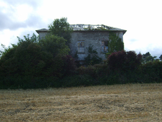 Ryland Housefarm house · 299 yd
 Ryland Castle (in ruins)Castle, unclassified · 1035 yd
 Clohamon Castle (in ruins)Castle, unclassified · 1336 yd
 Bunclody 1798 Bicentenary MemorialMemorial · 1.8 mi
 Common LimeCommon Lime · 1.8 mi
 1798 rebellion Battle of Newtownbarry (AKA Bunclody) commemorative plaqueMemorial · 1.8 mi
 European YewEuropean Yew · 2.0 mi
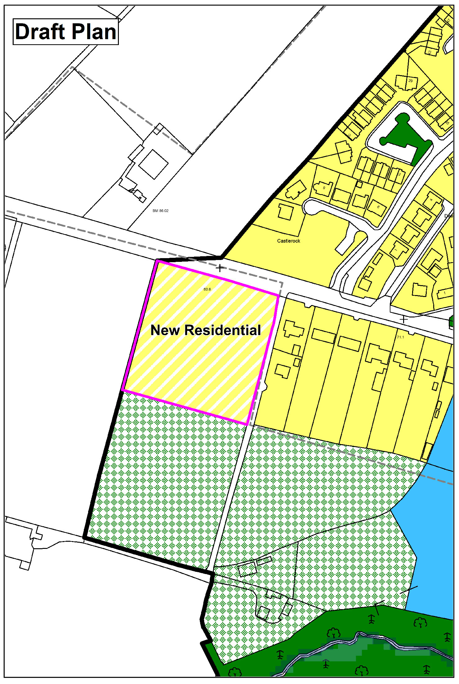 Enclosure in CarrickduffEnclosure · 2.0 mi
 John's HillMountain / peak · 3.1 mi
 Gibbet HillMountain / peak · 3.5 mi