What is recorded here
In low-lying pastureland. This possible ecclesiastical enclosure is clearly visible on aerial photographs (see https://binged.it/2gnEqYe last accessed 30 August 2017). It is roughly subcircular in plan (c. 99m NNE-SSW; c. 92m E-W) and a N-S running field boundary cuts through its E limits. When the associated church (GA074-069001-) and children's burial ground (GA074-069002-) within its interior were inspected in March 1985, only tentatives traces of it were noted. A very poorly preserved earthen bank was noted c. 46m to the N of the church. It was very degraded and reached a maximum height of 0.2m. It was not possible to determine its width as its limits were impossible to determine accurately from the ground. On the aerial photograph the entire outline of the enclosure is visible.
Compiled by: Olive Alcock
Date of upload: 30 August 2017
The monument record does not grant public access. Check the route and ask the landowner before entering private land.
- What survives
- Recorded monument
Places near here
 Listemple or Killure Grave YardChurch · 9 yd
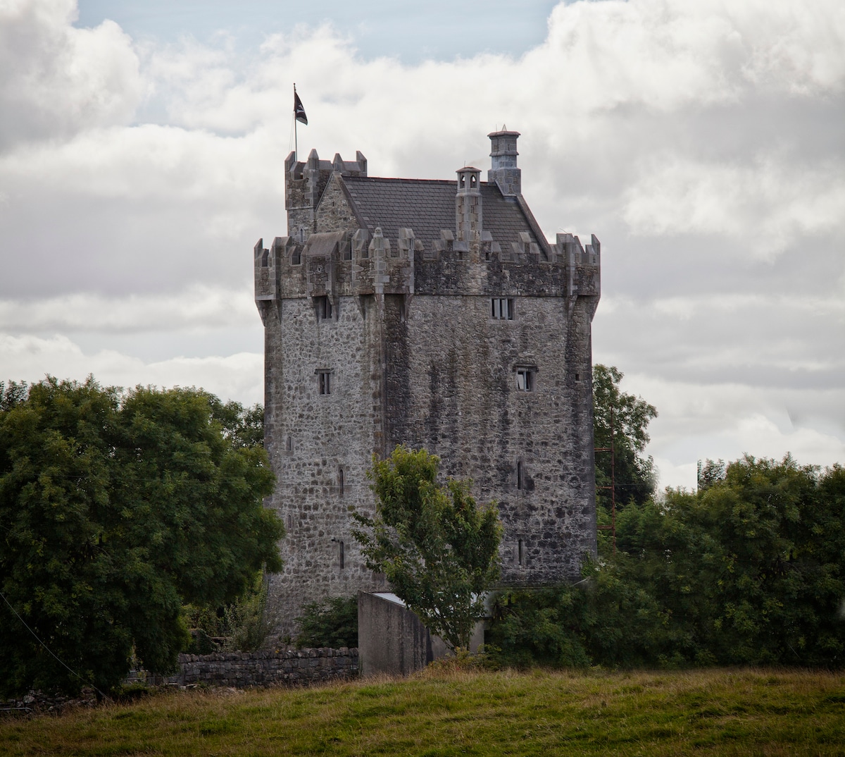
 Killure Castle (in ruins)Castle, tower house · 349 yd
 Enclosure in Killure CastleEnclosure · 689 yd
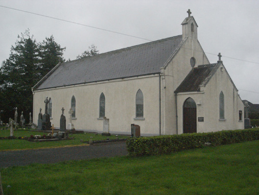 Saint Teresa's Catholic Churchchurch/chapel · 906 yd
 IndicatedEnclosure · 1032 yd
 European ashEuropean ash · 1.3 mi
 LismoneyForest · 2.2 mi
 Site of Cloonigny CastleCastle, unclassified · 2.4 mi
 Clooncoran IslandIsland · 2.6 mi
 Battle of Aughrim Interpretative CentreMuseum · 4.5 mi
 Urraghry HillMountain / peak · 4.6 mi
 Kilconnell AbbeyHeritage attraction · 4.8 mi