What is recorded here
In level pastureland, c. 50m to the N of a stream and 75m to the N of the townland boundary. On inspection in October 1984 this poorly preserved oval enclosure (95m NW-SE; 72m NE-SW) was defined by a bank, overlain by a later field wall, from SE to SSW, and by a low earthen scarp from SSW to NW. An external fosse was visible from SSE through W to N. A roughly NW-SE running field boundary bisected the site. There was a depression in the S sector of the interior, to the SE of which there was a small graveyard (GA101-018001-). When coupled with the townland name and the proximity of townland boundary, its presence suggested that the enclosure was ecclesiastical in character. Current OSi aerial photography indicates that the field wall overlying the bank from SE to SSW has been removed.
Compiled by: Galway Archaeological Survey, UCG
Date of upload: 5 March 2020
This remains an important historical record, but the official description says the monument is no longer visible or has been destroyed. The monument record does not grant public access. Check the route and ask the landowner before entering private land.
- What survives
- No visible remains or recorded as destroyed
Places near here
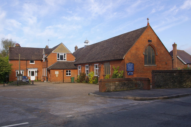 R.C. ChapelChapel · 329 yd
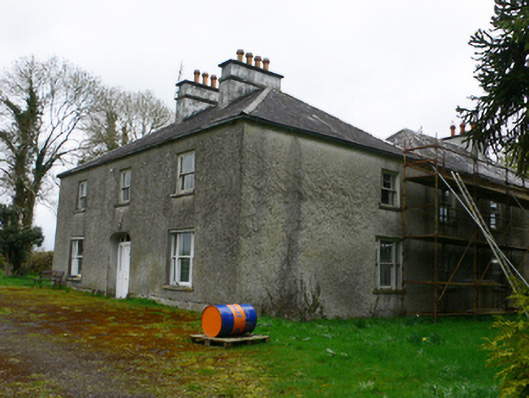 Cloonkeahouse · 844 yd
 Mass-rock (present location) in Brackloon (longford By.)Mass-rock (present location) · 1535 yd
 Mass-rock in Brackloon (longford By.)Mass-rock · 1620 yd
 Horse-chestnutHorse-chestnut · 1.3 mi
 European YewEuropean Yew · 1.4 mi
 Clonfert CathedralHeritage attraction · 1.4 mi
 Lismore CastleCastle, tower house · 2.0 mi
 Esker IslandIsland · 2.4 mi
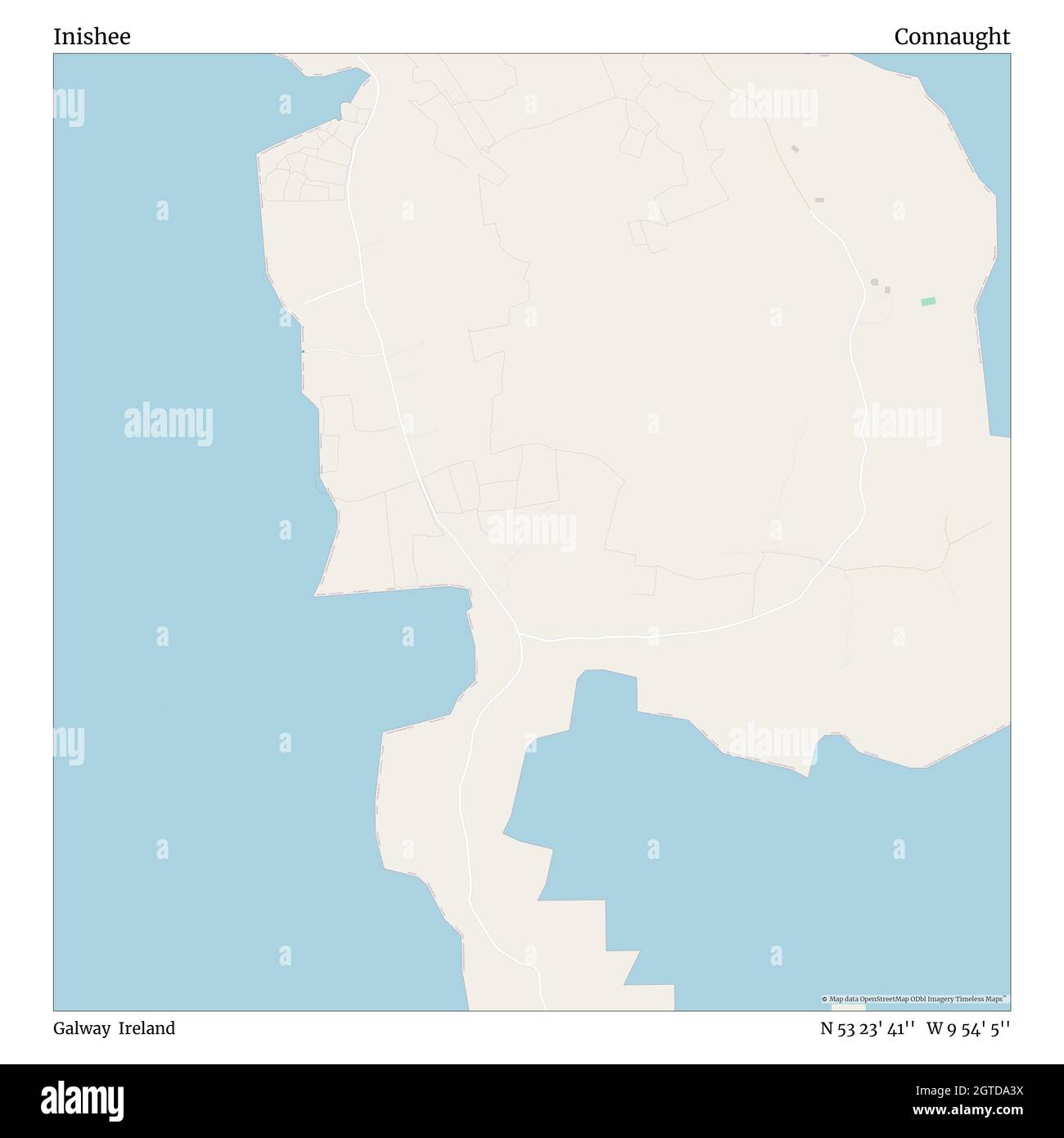 InisheeIsland · 2.6 mi
 Redmond HillMountain / peak · 3.0 mi
 MeelickVisitor information · 3.1 mi