What is recorded here
In gently undulating grassland. An originally circular enclosure (D c. 125m) defined by an earthen bank with traces of an external fosse from NW to N, and from SE through S to SSW. No visible surface trace survives elsewhere, as it is cut by a road at NW and SW, and by a field wall at N and SE. There is a church (GA072-042002-) and a subrectangular graveyard within the interior. According to local information, a quernstone was found in the graveyard some years ago.
The above description is derived from the published 'Archaeological Inventory of County Galway Vol. II - North Galway'. Compiled by Olive Alcock, Kathy de hÓra and Paul Gosling (Dublin: Stationery Office, 1999).
Date of upload: 05 August 2010
The monument record does not grant public access. Check the route and ask the landowner before entering private land.
- What survives
- Recorded monument
Places near here
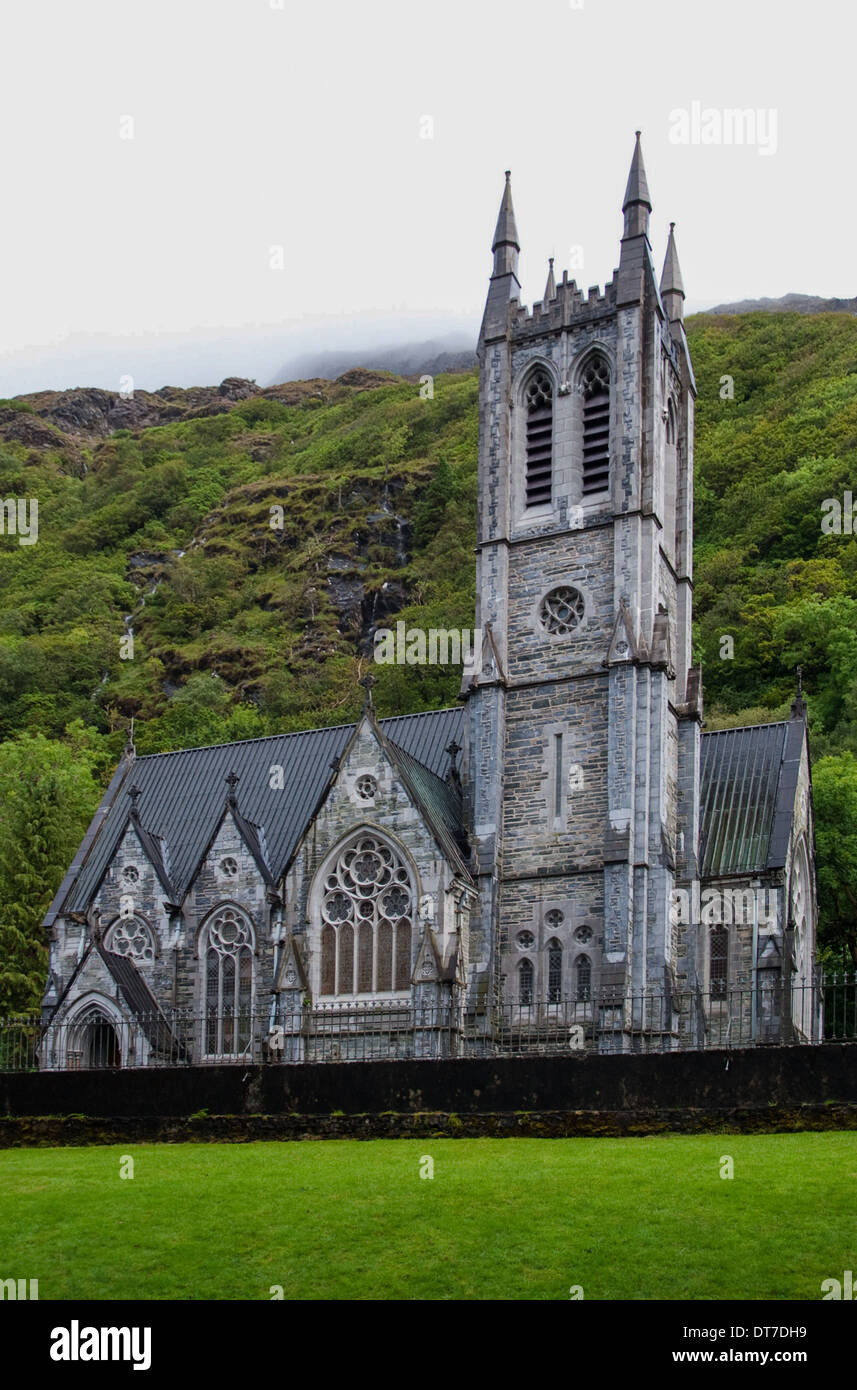 Killooaun Church in ruinsChurch · 7 yd
 Church in Killamude WestChurch · 1049 yd
 Enclosure in HampsteadEnclosure · 1494 yd
 CrossmalooCross, Wayside cross · 1564 yd
 Menlough IRAMemorial · 2.6 mi
 Castle (Site of)Castle, unclassified · 4.0 mi
 Garbally Castle (in ruins)Castle, tower house · 4.1 mi
 European Crab AppleEuropean Crab Apple · 4.5 mi
 Woodlawn WoodsForest · 4.6 mi
 Kilconnell AbbeyHeritage attraction · 6.9 mi
 Battle of Aughrim Interpretative CentreMuseum · 11 mi
 Battle of AughrimMajor battlefield · 11 mi