
What is recorded here
On S end of a glacial ridge which is mantled with associated earthworks (GA060-081002-). In existence before 1504 when it was destroyed by 'Mac William De Burgo' (O'Flanagan 1927, Vol. 1, 236-7, 243) (see also GA059-037----). The visible remains comprise a high flat-topped circular mound (D 15m, H 8m) which, though diminutive, is motte-like in appearance. Traces of a circular bank or grassed-over stone wall are visible around the perimeter of its summit. The S end of the ridge has been disturbed, probably by the 'mansion' which, according to local tradition, once stood at its foot. This is reputed to have had six chimneys but apart from the keystone of an arch, no visible surface trace of it survives.
The above description is derived from the published 'Archaeological Inventory of County Galway Vol. II - North Galway'. Compiled by Olive Alcock, Kathy de hÓra and Paul Gosling (Dublin: Stationery Office, 1999).
Date of upload: 05 August 2010
The site of Castle Gallagh was held by the Mac William De Burgo family before being destroyed in 1504. It is remembered for its historical association with the Anglo-Norman De Burgo dynasty in Ireland.
This remains an important historical record, but the official description says the monument is no longer visible or has been destroyed. The monument record does not grant public access. Check the route and ask the landowner before entering private land.
- What survives
- No visible remains or recorded as destroyed
Places near here
 Enclosure in CastleblakeneyEnclosure · 493 yd
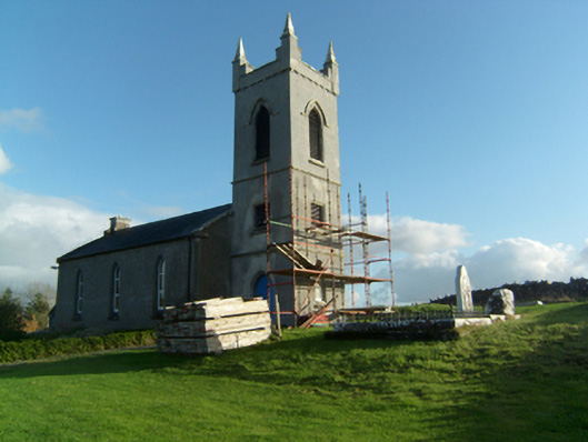 Saint Paul's Church (Killosolan)church/chapel · 780 yd
 Enclosure in LisnagreeEnclosure · 1609 yd
 Greenville Housedemesne walls/gates/railings · 1636 yd
 Castle (in ruins)Castle, unclassified · 1.6 mi
 Mountbellew ForestForest · 2.4 mi
 Wych ElmWych Elm · 3.3 mi
 Menlough IRAMemorial · 4.1 mi
 Clonbrock CastleCastle, tower house · 4.2 mi
 Ballinlass Eviction MemorialMemorial · 4.3 mi
 Kilconnell AbbeyHeritage attraction · 7.7 mi
 Mount MaryMountain / peak · 9.9 mi
Other information
Photo: Credit not shown in the picture search · Rights wording not checked; contact us if this picture should be removed