
What is recorded here
In flat open pastureland. According to local tradition, this was the site of 'the church of Modiúit', a saint and bishop who lived in the 6-7th C (Flynn 1991, 12-13). All that survives are the low grassy foundations of a rectangular building aligned E-W, 'measuring about 10 1/2 feet [3.2m] by 6 1/2 feet [2m] internally' (ibid.). This appears to stand within a small rectangular enclosure, also defined by low grassy foundations. Though a number of large stones lie in the vicinity, no architectural features survive (information from P. Ruane). Not visited.
The above description is derived from the published 'Archaeological Inventory of County Galway Vol. II - North Galway'. Compiled by Olive Alcock, Kathy de hÓra and Paul Gosling (Dublin: Stationery Office, 1999).
Date of upload: 05 August 2010
A local church or high cross; wider significance not recorded.
The monument record does not grant public access. Check the route and ask the landowner before entering private land.
- What survives
- Recorded monument
Places near here
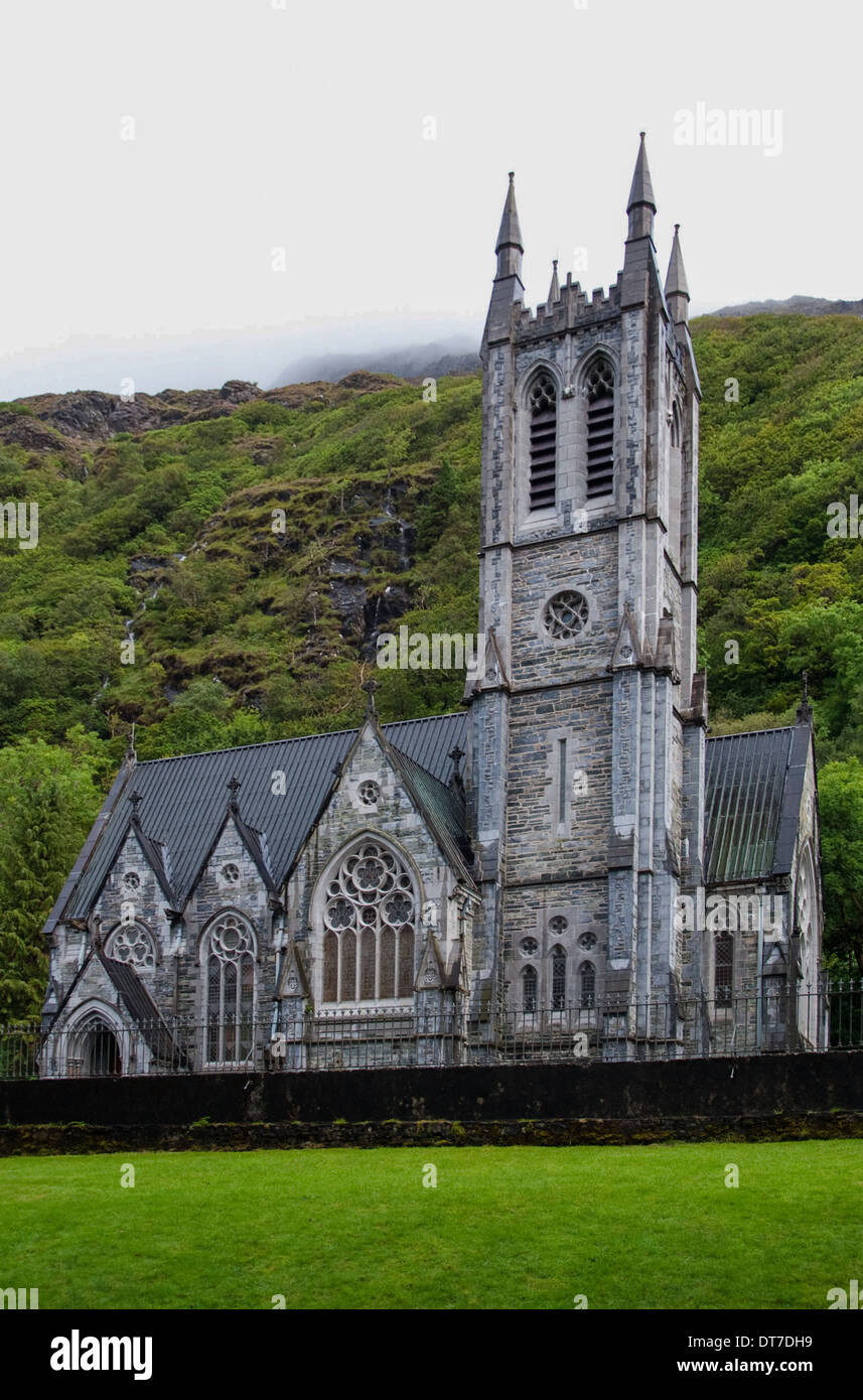 Killooaun Church in ruinsChurch · 1042 yd
 Enclosure in HampsteadEnclosure · 1696 yd
 Mass-rock in Killamude EastMass-rock · 1.1 mi
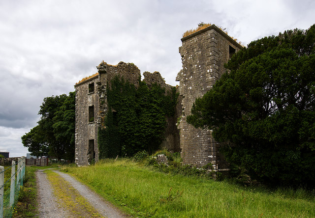 Hampstead Ho.Country house · 1.2 mi
 Menlough IRAMemorial · 2.0 mi
 Castle (Site of)Castle, unclassified · 3.7 mi
 Garbally Castle (in ruins)Castle, tower house · 3.9 mi
 Mountbellew ForestForest · 4.6 mi
 SycamoreSycamore · 4.8 mi
 Kilconnell AbbeyHeritage attraction · 7.4 mi
 Battle of Aughrim Interpretative CentreMuseum · 11 mi
 Battle of AughrimMajor battlefield · 12 mi
Other information
Photo: Credit not shown in the picture search · Rights wording not checked; contact us if this picture should be removed