
What is recorded here
From the National Monuments Service (Archaeological Survey of Ireland) record WM008-090002
Places near here
Photo credits
- Maker not stated on source page, storage.googleapis.com
- National Inventory of Architectural Heritage
- Maker not stated on source page, www.geograph.ie
- Maker not stated on source page, www.pinterest.com
- Gavigan, Wikimedia Commons · CC BY-SA 3.0
- Maker not stated on source page, commons.wikimedia.org
- Maker not stated on source page, en.wikipedia.org
- Eric Jones, Wikimedia Commons · CC BY-SA 2.0
- Maker not stated on source page, in.pinterest.com
 Fairy fort / earthen ringfort in ClonynFairy fort / earthen ringfort · 1.1 mi
Explorer Tom Fairy fort / earthen ringfort in Clonyn does its best impression of a castle when nobody’s looking, complete with a…
 Derries CottageGates/railings/walls · 1.2 mi
Explorer Tom Derries Cottage is getting picked on by the wind every single day just because it stands out from the crowd. Those…
 Scurlockstown Castle in ruinsCastle, unclassified · 1.5 mi
Explorer Tom Scurlockstown Castle in ruins has a secret talent for making sound effects like a haunted house but with zero…
 Saint John's Church (Kilcumny)Church/chapel · 1.5 mi
Explorer Tom Saint John's Church in Kilcumny is doing a bit of dancing when nobody’s looking, probably because it converted into a…
 CastleCastle, tower house · 1.6 mi
Explorer Tom Clonyn Castle has an opinion on the road that leads to it, mostly that it’s too narrow for its ego. It was once a fair…
 Clonyn CastleCastle/fortified house · 1.7 mi
Explorer Tom Clonyn Castle in Westmeath is having a full-on identity crisis, standing there looking all Victorian while secretly…
 Kilcumny GraveyardGraveyard · 1.9 mi
Explorer Tom Kilcumny Graveyard would survive a zombie attack because they’re already used to being ignored by everyone else. It’s…
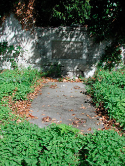 graveyard/cemetery1.9 mi
Explorer Tom Graveyard in Kilcumny is sitting inside a medieval enclosure, looking like it’s about to start a very serious book club…
 Church (in Ruins)Church · 1.9 mi
Explorer Tom Church in Kilcumny is playing hard to get because it thinks it’s worth more than its roofless face shows. I bet you the…
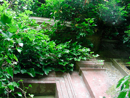 Drumcree HouseCountry house · 1.9 mi
Explorer Tom Drumcree House has been renamed so many times I think it’s got an identity crisis and just wants to be called Dave for…
 Delvin CastleVisitor attraction · 2.1 mi
Explorer Tom Delvin Castle has been locked in a bitter, centuries-long feud with the rain, and honestly, the castle is winning. The…
 Standing stone in BattstownStanding stone · 2.3 mi
Explorer Tom Standing stone in Battstown has a local who swears he invented it personally, which is a bold lie but I respect the…
More archaeology and monuments in County Westmeath · All of County Westmeath

What do you know about this place?Tap to add a comment or ask a question