
What is recorded here
Kilcorney church and burials stood inside a round earthen fence about fifty metres across. The road cut the place in two during the nineteenth century, and the eastern half stopped receiving the dead. The western arc still rises from the pasture, while the new walls may have replaced the old bank. A church, a graveyard and a name remain where the road took half the site.
In pasture, on SE side of road opposite Kilcorney burial ground (9539). Remains of arc (C c. 36m) of earthen bank NE->SW indicate presence of enclosure (diam. c. 50-60m) which would originally have extended W into graveyard. According to Ní Chadhla (1994 101), graveyard was divided by construction of road in 19th century and nobody was ever buried on E side thereafter. It is possible that present walls of graveyard may date to period of road construction and that earlier enclosure was earthen in formand circular in shape. Faint traces of further earthworks noted to SE. Enclosure, townland name and graveyard suggest presence of early ecclesiastical site.
The above description is derived from the published 'Archaeological Inventory of County Cork. Volume 3: Mid Cork' (Dublin: Stationery Office, 1997). In certain instances the entries have been revised and updated in the light of recent research.
Date of upload/revision: 14 January 2009
The monument record does not grant public access. Check the route and ask the landowner before entering private land.
- What survives
- Recorded monument
Places near here
 Holy well in Knockanroe (muskerry West By.)Holy well · 291 yd
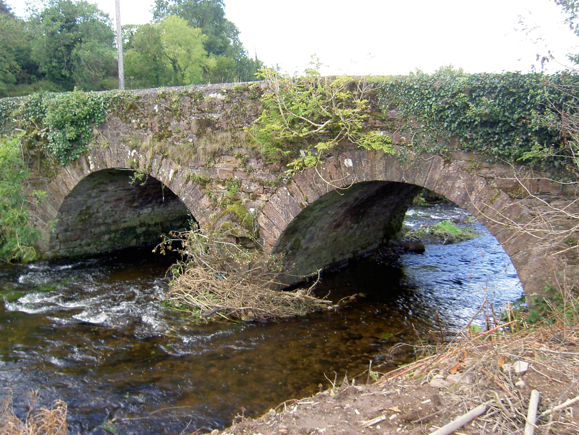 Lyon's Bridgebridge · 646 yd
 LisnagroughFairy fort / earthen ringfort · 914 yd
 Bride's Bridgebridge · 1363 yd
 Rathcool WoodWood · 1658 yd
 Battle of Knocknaclashybattle · 2.3 mi
 Blackwater (Duhallow) WayWalking route · 2.9 mi
 Castle and TurretCastle, tower house · 3.1 mi
 Castle (Site of)Bawn · 3.7 mi
 SeefinMountain / peak · 3.8 mi
 MusheraMountain / peak · 4.0 mi
 Millstreet Tourist InformationVisitor information · 4.0 mi
Other information
Photo: Credit not shown in the picture search · Rights wording not checked; contact us if this picture should be removed