
What is recorded here
Knockanroe held a holy well beside a stream valley until men infilled it around 1986. The waterlogged ground still marks the lost chamber, preserving a place where ordinary pasture once touched ritual memory. Forgetfulness removed the basin, but the damp earth remembers the shape of devotion.
In pasture, on E side of and overlooking stream valley. Waterlogged area indicates site of well. Infilled c. 1986. Known locally as site of holy well.
The above description is derived from the published 'Archaeological Inventory of County Cork. Volume 3: Mid Cork' (Dublin: Stationery Office, 1997). In certain instances the entries have been revised and updated in the light of recent research.
Date of upload/revision: 14 January 2009
The monument record does not grant public access. Check the route and ask the landowner before entering private land.
- What survives
- Recorded monument
Places near here
 Ecclesiastical enclosure in KilcorneyEcclesiastical enclosure · 291 yd
 LisnagroughFairy fort / earthen ringfort · 629 yd
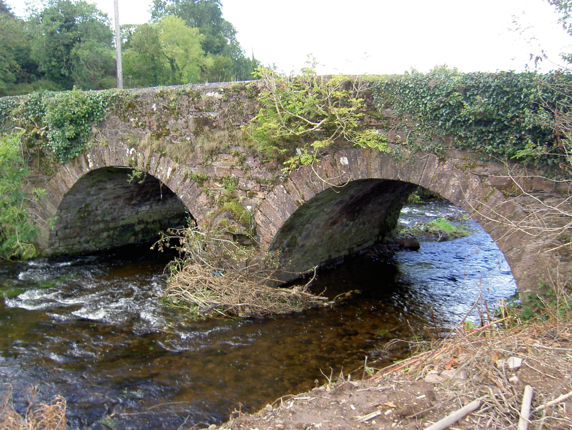 Lyon's Bridgebridge · 854 yd
 Bride's Bridgebridge · 1292 yd
 Rathcool WoodWood · 1731 yd
 Battle of Knocknaclashybattle · 2.2 mi
 Blackwater (Duhallow) WayWalking route · 3.0 mi
 Castle and TurretCastle, tower house · 3.3 mi
 Castle (Site of)Bawn · 3.7 mi
 SeefinMountain / peak · 3.8 mi
 KnockboyMountain / peak · 3.9 mi
 Millstreet Tourist InformationVisitor information · 4.2 mi
Other information
Photo: Credit not shown in the picture search · Rights wording not checked; contact us if this picture should be removed