
What is recorded here
Kilbrittain church and graveyard sit inside a forgotten circular fence, visible only as a shadow in an aerial photograph and a dotted Glebe line on an 1842 map. The earth has swallowed the boundary, yet the shape still turns around the dead and the praying room like a quiet guard. What is absent on the surface may be more honest than what remains behind.
Large subcircular enclosure surrounding the church (CO123-022003-) and graveyard (CO123-022002-), visible as shadow site in an aerial photograph by Dr. D.D.C. Pochin Mould (unpublished 1989). Dotted line indicating circular 'Glebe' on OS 6-inch map (1842) roughly follows line of enclosure visible in aerial photograph. No visible surface trace. (GSAP).
The above description is derived from the published 'Archaeological Inventory of County Cork. Volume 1: West Cork' (Dublin: Stationery Office, 1992). In certain instances the entries have been revised and updated in the light of recent research.
Date of upload/revision: 14 January 2009
The monument record does not grant public access. Check the route and ask the landowner before entering private land.
- What survives
- Recorded monument
Places near here
 IndicatedHoly well · 368 yd
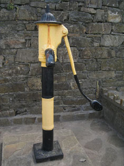 water pumpwater pump · 586 yd
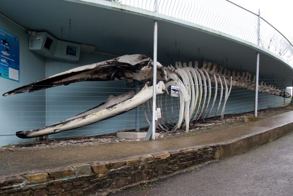 Kilbrittain WhaleHeritage attraction · 591 yd
 Kilbrittain Castlecastle/fortified house · 600 yd
 Kilbrittain WoodWood · 857 yd
 Quay WoodWood · 1356 yd
 Burial ground in ArdacrowBurial ground · 1.1 mi
 Crois Na Leanbh MemorialMemorial · 1.6 mi
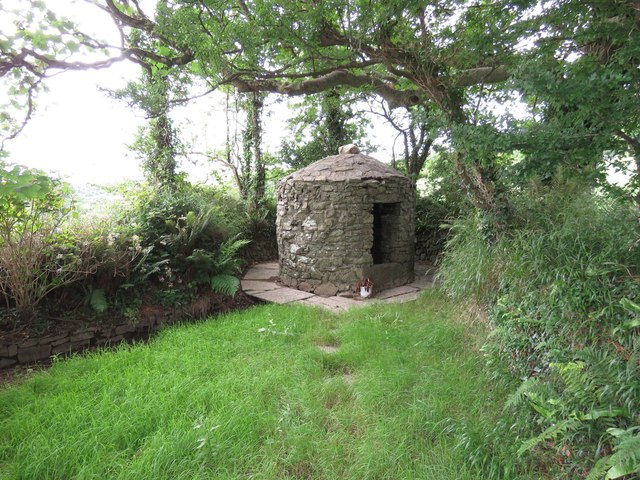 Trinity WellSpring · 1.6 mi
 Garranefeen StrandBeach / strand · 1.6 mi
 Flaxfort StrandBeach / strand · 2.2 mi
 Castle (in Ruins)Castle, tower house · 2.6 mi
Other information
Photo: Credit not shown in the picture search · Rights wording not checked; contact us if this picture should be removed