What is recorded here
In grassland on NE facing slope of rising ground with good views to N and E. Poorly preserved remains of large roughly oval-shaped enclosure (dims. 100m N-S; 120m E-W) defined by an earthen bank mainly reduced to a scarp (H 0.6m) and outer fosse which is only visible on N side only, elsewhere it has been filled in. Depicted as a Grave Yard on the 1837 ed. OS 6-inch map. Two fragments of early Christian cross-slabs (WM036-042002-/007-) standing in group of trees containing bullaun stone (WM036-042003-) known as St. Patrick's knee stone in N quadrant of ecclesiastical enclosure. The interior of the enclosure is depicted as a graveyard (WM036-042006-) on the OS 6-inch map and local tradition records that this graveyard was also used as a children's burial ground (WM036-042008-). Site of holy well (WM036-042005-) dedicated to St. Patrick 290m to W. Large tree standing in SE quadrant of enclosure contains a some upright stones of unknown antiquity. There are the faintest traces of a smaller enclosure encircling this tree which may mark the site of the children's burial ground (WM032-042008-) (Swan 1988, 11).
Compiled by: Caimin O’Brien
Date of upload: 08 August 2014
The monument record does not grant public access. Check the route and ask the landowner before entering private land.
- What survives
- Recorded monument
Places near here
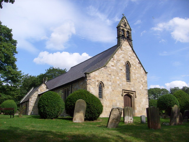 Church in Clonaltra WestChurch · 1 yd
 Holy well in HallHoly well · 330 yd
 OutlinedEnclosure · 955 yd
 Bladderry Bridgebridge · 1087 yd
 Esker CastleCastle, tower house · 2.1 mi
 Bawn in Lackagh MoreBawn · 2.2 mi
 European ashEuropean ash · 2.6 mi
 Dún na SíMuseum · 3.6 mi
 The Bob Traynor GalleryGallery · 3.6 mi
 Moate HillMountain / peak · 3.7 mi
 Charles BianconiMemorial · 3.7 mi
 Endrim HillMountain / peak · 4.8 mi