What is recorded here
Situated on a low knoll or hillock in the NE corner of a field. Poorly preserved ivy-clad ruins of a long church (WM010-012----) standing in the centre of an oval-shaped graveyard (WM010-012001-) defined by a stone wall (H 1m) of modern appearance. Curving graveyard wall from S to SW appears to be built on top of a low earth and stone bank, which appears to be the remains of an earlier graveyard boundary. In the fields to the W and SW there is a noticeably curving field fence this may indicate the line of an original ecclesiastical enclosure. The field fence is an earthen bank covered by trees and bushes. It ends where it runs into a farmyard to S. There are no indications of the circuit continuing in the fields to E of the church. Low field banks or linear earthworks in the adjoining field to SW appear to be post-1700 in date.
Compiled by: Frank Coyne and Caimin O’Brien
Date of upload: 3 November 2016
The monument record does not grant public access. Check the route and ask the landowner before entering private land.
- What survives
- Recorded monument
Places near here
 Church (in Ruins)Chapel · 28 yd
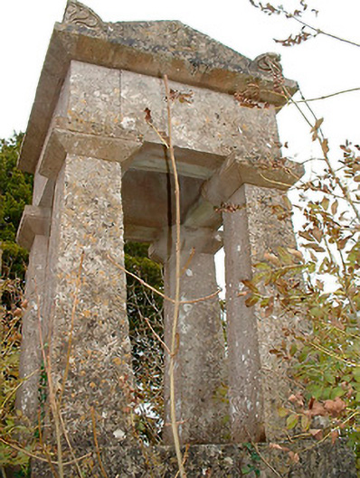 graveyard/cemeterygraveyard/cemetery · 39 yd
 Site of CastleCastle, unclassified · 1.0 mi
 OutlinedFairy fort / earthen ringfort · 1.1 mi
 Hachured, RathduffFairy fort / earthen ringfort · 1.1 mi
 Bawn in EmperBawn · 1.6 mi
 Horse-chestnutHorse-chestnut · 2.8 mi
 Common AlderCommon Alder · 2.9 mi
 Abbeyshrule AbbeyRuins · 3.4 mi
 National Famine WayWalking route · 9.1 mi
 First World War MemorialMemorial · 13 mi
 Saint Mel's CathedralCathedral · 13 mi