What is recorded here
On the lower S-facing slope of Kilmacoliver Hill, overlooking the valley of the River Suir. The medieval church and graveyard (KK034-032002-) are located on the site of an early medieval monastery, as evidenced by four high crosses (KK034-032004-; KK034-032005-; KK034-032006-; KK034-032007-) within the graveyard. An archaeological excavation within the N sector of the graveyard in 1985 (Hurley 1988, 124-34) revealed a wall (Wth 1.5-2m; H 0.2-0.9m) one to two courses high. The wall extended E-W in a gradually curving arc (ibid. 126). The wall was faced internally and externally with dry-stone walling and the interior was filled with rubble and large boulders (ibid. 126, 129). The wall was not removed but it appeared to be set on boulder clay which was at a higher level than the boulder clay within the enclosure, suggesting that the raised area under the wall may have been a natural terrace or a pre-existing clay bank (ibid. 129). It was not established whether the wall and possible bank were associated with the monastery or were later medieval features (ibid.).
Compiled by: Jean Farrelly
Date of upload: 20 August 2018
The monument record does not grant public access. Check the route and ask the landowner before entering private land.
- What survives
- Recorded monument
Places near here
 IndicatedCross, High cross · 6 yd
 Kilkieran CrossesHeritage attraction · 12 yd
 Holy well in Castletown (iverk By)Holy well · 55 yd
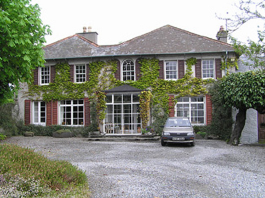 Newtownhouse · 1201 yd
 Kilmacoliver HillMountain / peak · 1226 yd
 Church (in ruins)Church · 1528 yd
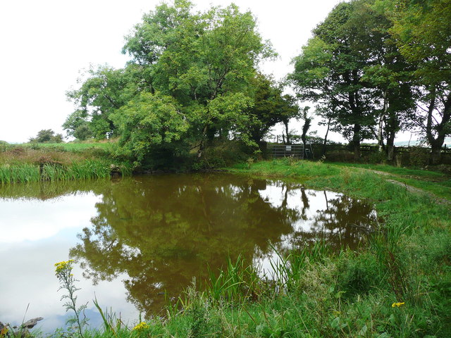 Dwyer Homestead and Pond, BregaunVisitor information · 1.0 mi
 Woodland LoopWalking route · 1.2 mi
 Burns WoodForest · 1.4 mi
 Carrigadoon HillMountain / peak · 1.4 mi
 Irish Republic 1916-2016Memorial · 1.5 mi
 CastleCastle, unclassified · 1.6 mi