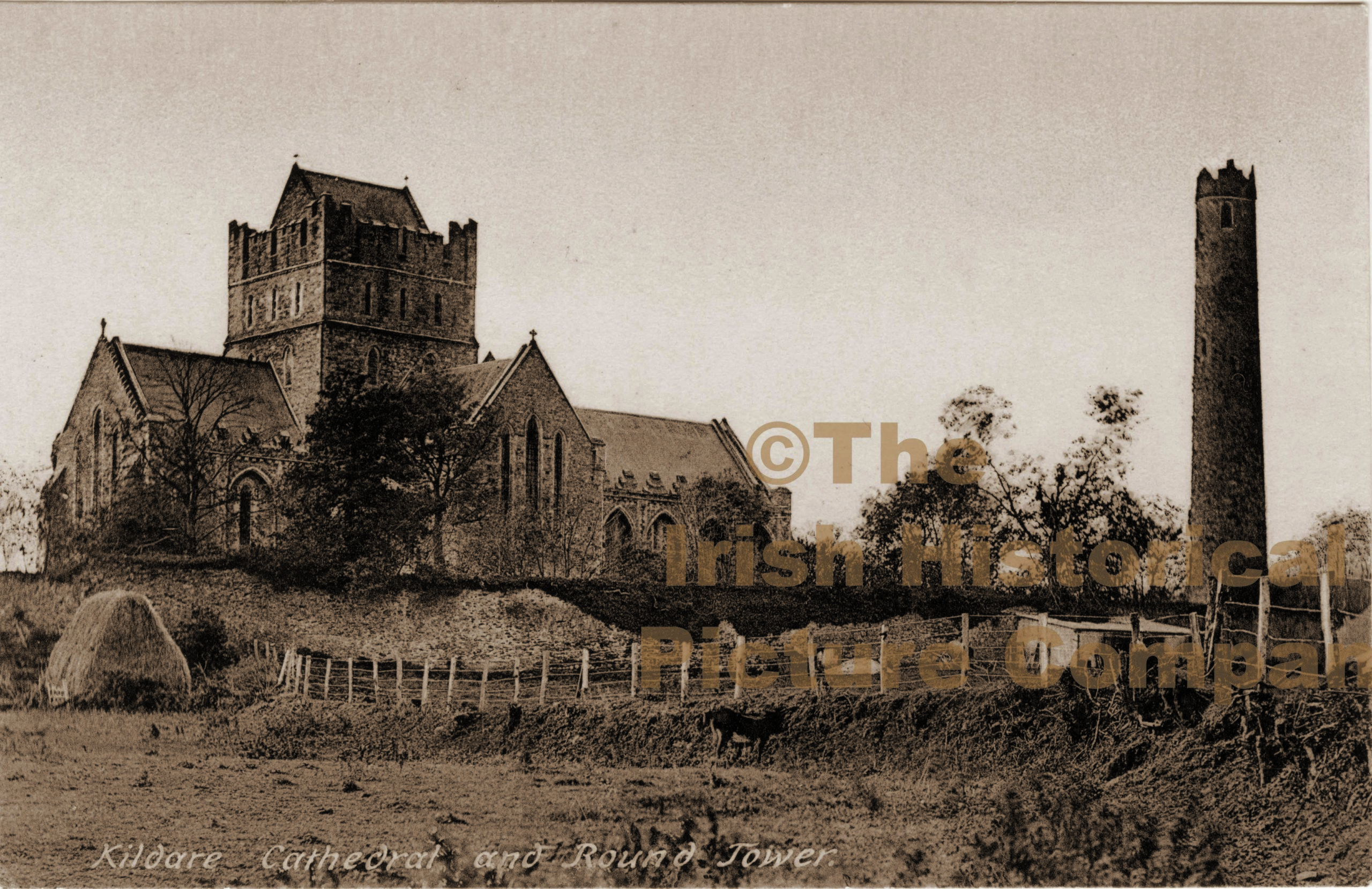
What is recorded here
Barrettstown preserves a curving earthen bank seven and a half metres wide beside the River Liffey, enclosing a church site within a graveyard. The bank stands only forty centimetres inside but rises a metre and twenty outside, suggesting that earth was taken from the sacred centre and piled outward to mark its boundary. A modern two-metre gap admits a gravel path, yet the old line still curves around the place like a forgotten arm.
In a graveyard (KD018-019003-) in level pasture on the N bank of the River Liffey. A curving arc of poorly preserved, low, broad, earthen bank (Wth 7.5m; int. H 0.4m; ext. H 1.2m) defines the N and E limits (NNW-E-SE) of a possible ecclesiastical enclosure which contains a church site (KD018-019001-) in the NE sector. A gap (Wth 2m) at NNW is probably modern, allowing a gravel path from the N to link up with a path running inside the line of the bank.
Compiled by: Gearóid Conroy
Date of upload: 10 June 2011
The monument record does not grant public access. Check the route and ask the landowner before entering private land.
- What survives
- Recorded monument
Places near here
 IndicatedHoly well · 70 yd
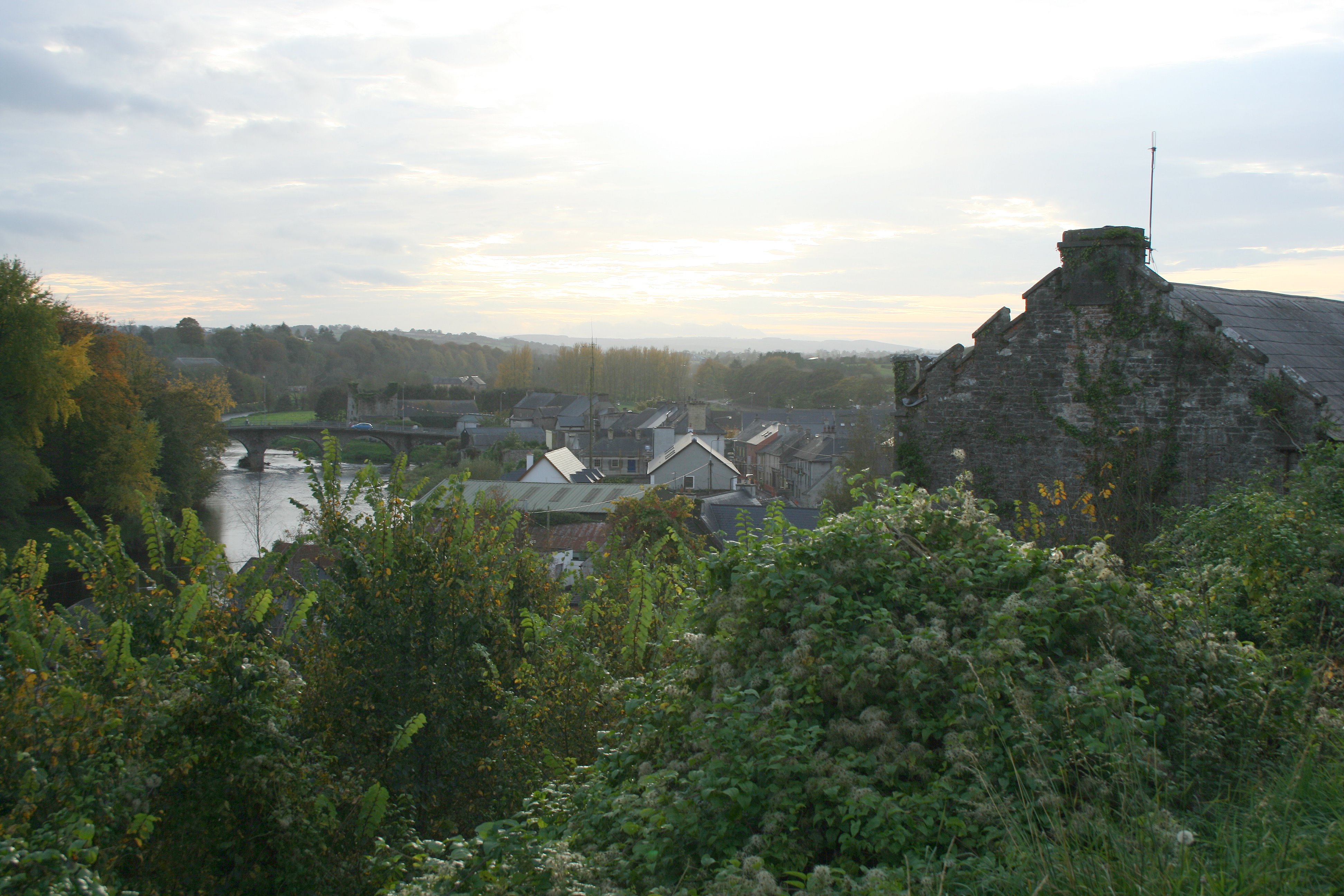 Enclosure in Thomastown (carragh Ed)Enclosure · 1085 yd
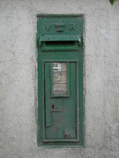 post boxpost box · 1153 yd
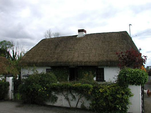 farm housefarm house · 1706 yd
 Sarsfield Castle (Site of)Castle, unclassified · 2.3 mi
 TumulusCastle, motte and bailey · 2.3 mi
 Newbridge SilverwareMuseum · 3.2 mi
 Pollardstown Fen Nature ReserveNature reserve · 4.2 mi
 Grand Canal WayVisitor information · 4.3 mi
 Monread District Park WoodsWood · 4.4 mi
 Hill of AllenMountain / peak · 4.5 mi
 Councillor Jim MileyMemorial · 9.8 mi
Other information
Photo: Credit not shown in the picture search · Rights wording not checked; contact us if this picture should be removed