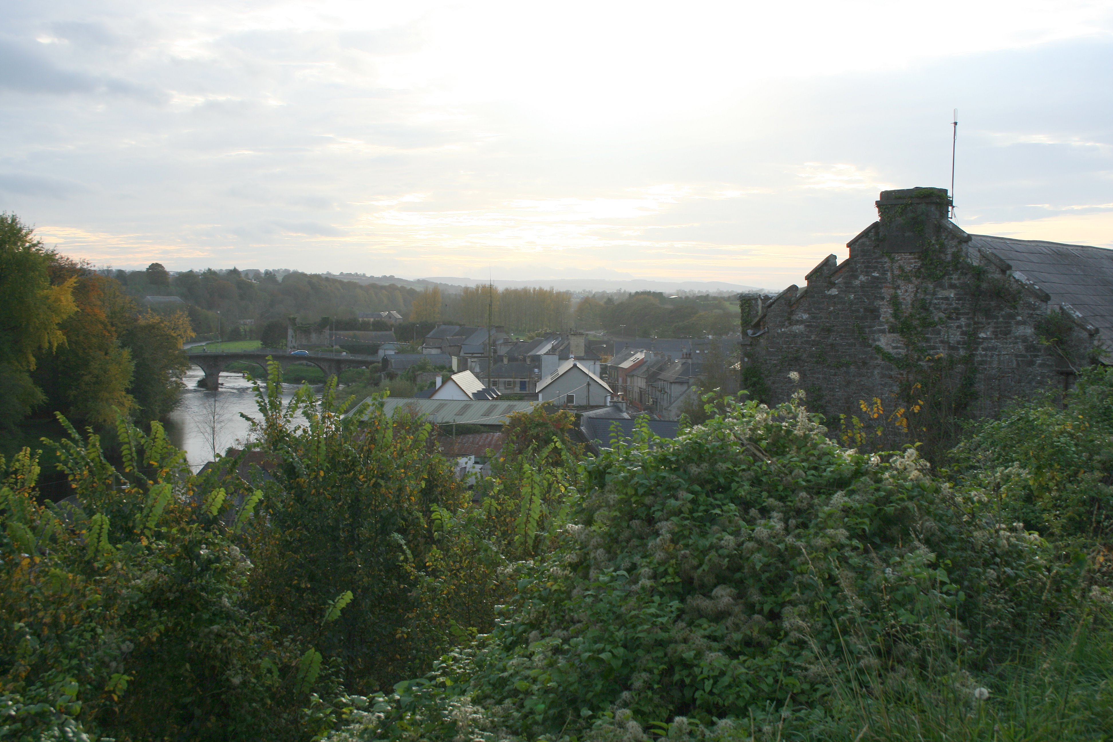
What is recorded here
Visible on an aerial photograph (GSI N 375-6) as the cropmarks of two small, circular enclosures. On level pasture. No visible surface trace of the features survive.
Compiled by: Gearóid Conroy
Date of upload: 10 June 2011
The monument record does not grant public access. Check the route and ask the landowner before entering private land.
- What survives
- Recorded monument
Places near here
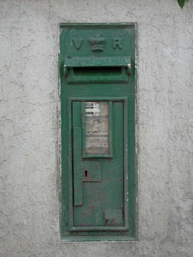 post boxpost box · 941 yd
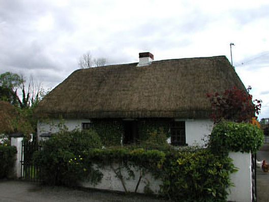 farm housefarm house · 968 yd
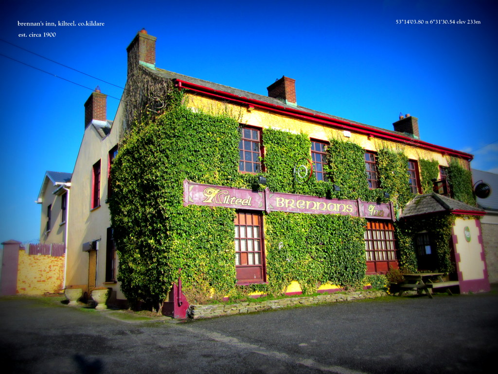 IndicatedHoly well · 1016 yd
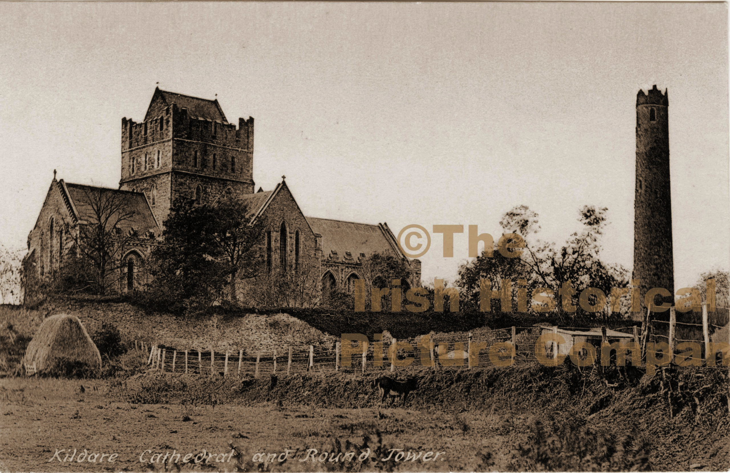 Ecclesiastical enclosure in Barrettstown (oldconnell Ed)Ecclesiastical enclosure · 1085 yd
 Sarsfield Castle (Site of)Castle, unclassified · 2.7 mi
 Castle RagCastle, tower house · 3.1 mi
 Newbridge SilverwareMuseum · 3.8 mi
 Grand Canal WayVisitor information · 3.9 mi
 Monread District Park WoodsWood · 4.2 mi
 Naas ParkWood · 4.2 mi
 Hill of AllenMountain / peak · 4.5 mi
 Councillor Jim MileyMemorial · 9.9 mi
Other information
Photo: Credit not shown in the picture search · Rights wording not checked; contact us if this picture should be removed