
What is recorded here
Shown on 1842 OS 6-inch map as circular enclosure (diam. c. 50m). Removed by quarrying. This is probably the 'early church site' on O'Brien's farm referred to by Power (1923, 187).
The above description is derived from the published 'Archaeological Inventory of County Cork. Volume 2: East and South Cork' (Dublin: Stationery Office, 1994). In certain instances the entries have been revised and updated in the light of recent research.
Date of upload/revision: 14 January 2009
An ecclesiastical enclosure in Ballyvodock West, likely an early-medieval Christian site, is recorded on the 1842 Ordnance Survey map as a circular structure, later destroyed by quarrying. It is associated with an early church site mentioned on O'Brien's farm by Power (1923), suggesting a possible monastic or religious function in the medieval period.
The monument record does not grant public access. Check the route and ask the landowner before entering private land.
- What survives
- Recorded monument
Places near here
 Field system in Ballyvodock WestField system · 1125 yd
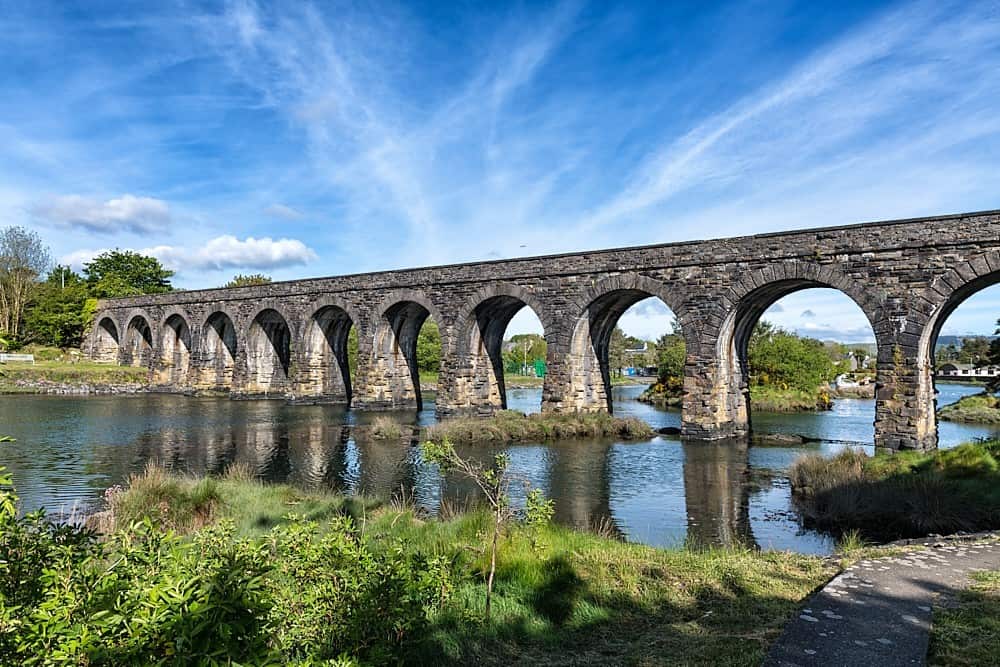 Linear earthwork in Ballynabointra,ballyvodock East,baneshane,water-RockLinear earthwork · 1267 yd
 Ballintubbrid Villahouse · 1715 yd
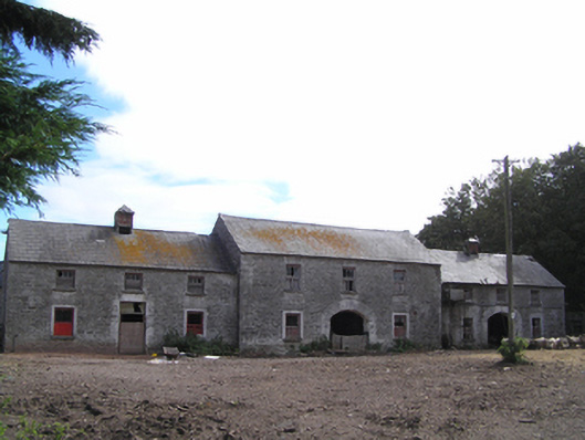 farmyard complexfarmyard complex · 1.0 mi
 Ballyvodock Castle (in Ruins)Castle, tower house · 1.1 mi
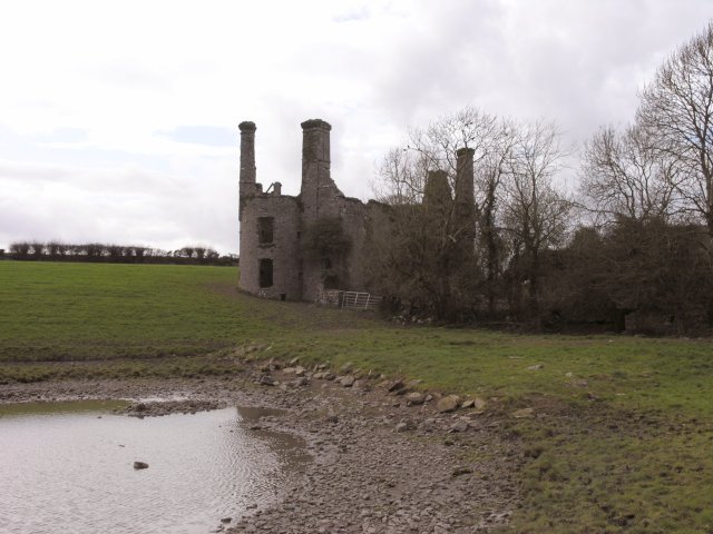 Ballyannan Castle (in Ruins)House, fortified house · 1.2 mi
 Barryscourt CastleCastle · 1.7 mi
 Ballyannan (Bluebell) WoodsForest · 1.7 mi
 Tower WoodForest · 1.8 mi
 Noel Collins BridgeVisitor information · 1.9 mi
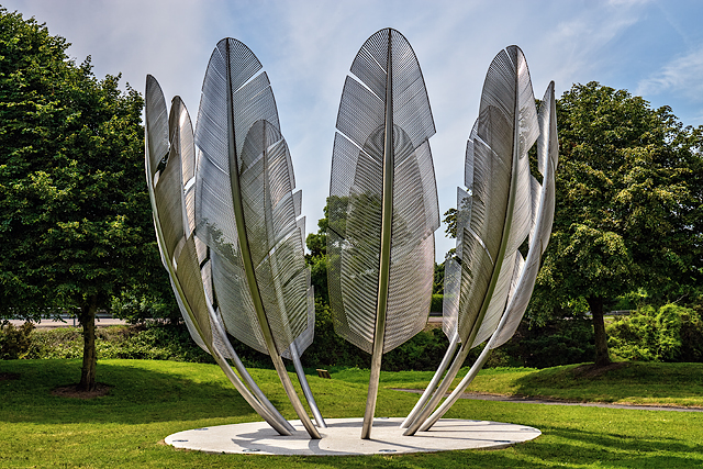 Kindred SpiritsMemorial · 1.9 mi
 Rossmore BayBay · 2.0 mi
Other information
Photo: Credit not shown in the picture search · Rights wording not checked; contact us if this picture should be removed