What is recorded here
Yellow Ditch cuts 1.6 kilometres through Ballynabointra, Ballyvodock East, Baneshane and Water-rock, marking the Carrigtwohill-Mogesha parish line. A new road destroyed part of the ancient double bank and public pathway, yet a waterlogged fosse and narrow earthen ridge still trace the old route across gently undulating farmland.
In tillage, crossing gently undulating countryside. Linear earthwork, forming boundary between townlands of Ballynabointra and Water-rock to N, and Ballyvodock East and Baneshane to S, also parish boundary between Carrigtwohill to N and Mogesha to S; running NE-SW (L c. 1.6Km) in slightly uneven course. Waterlogged fosse (Wth c. 3m; D 0.7m) on NW side of earthen bank; best preserved section of bank W of centre (H 1m; Wth 4.6m; L c.600m) where sunken pathway (D 0.4m; Wth 1.3m) runs along top of bank; bank narrows gradually (Wth c. 1.5m) further W and eventually becomes indistinguishable from surrounding field boundaries. Roadway follows line of boundary to E (L c. 700m); continuation of waterlogged fosse separated from road by low bank (H c. 0.75m; Wth 1m). According to O Búachalla (1988,143) this section of 'new road' destroyed 'double line of bank' with 'public pathway on top'. Known locally as 'Claidh Buidhe' (Yellow Ditch) (ibid); according to Power (1923, 187) 'Windele refers to two ancient cliadhes (dykes) ' in this area. Section of 'Claidh Dubh' (CO076-002---) c. 2Km to W.
The above description is derived from the published 'Archaeological Inventory of County Cork. Volume 2: East and South Cork' (Dublin: Stationery Office, 1994). In certain instances the entries have been revised and updated in the light of recent research.
Date of upload/revision: 14 January 2009
The monument record does not grant public access. Check the route and ask the landowner before entering private land.
- What survives
- Recorded monument
Places near here
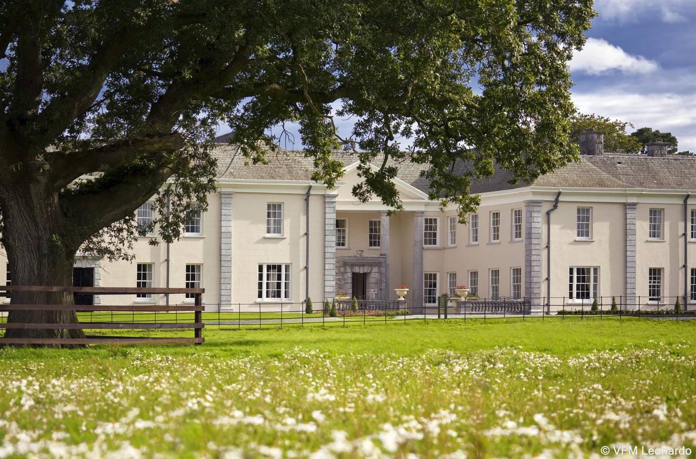 Enclosure in Ballyvodock EastEnclosure · 510 yd
 IndicatedEnclosure · 1261 yd
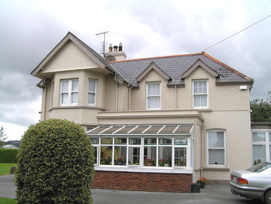 Woodviewhouse · 1659 yd
 Denisfieldhouse · 1704 yd
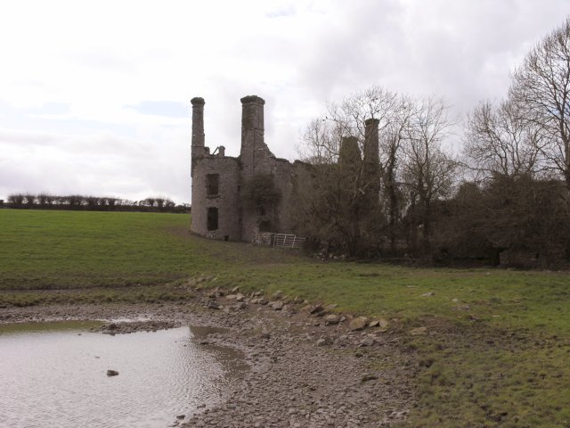 Ballyannan Castle (in Ruins)House, fortified house · 1.0 mi
 Ballyannan (Bluebell) WoodsForest · 1.3 mi
 Noel Collins BridgeVisitor information · 1.3 mi
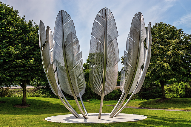 Kindred SpiritsMemorial · 1.3 mi
 Nellie Cashman MonumentMemorial · 1.4 mi
 Castle Redmond (Site of)Castle, unclassified · 1.4 mi
 Jameson Distillery MidletonHeritage attraction · 1.7 mi
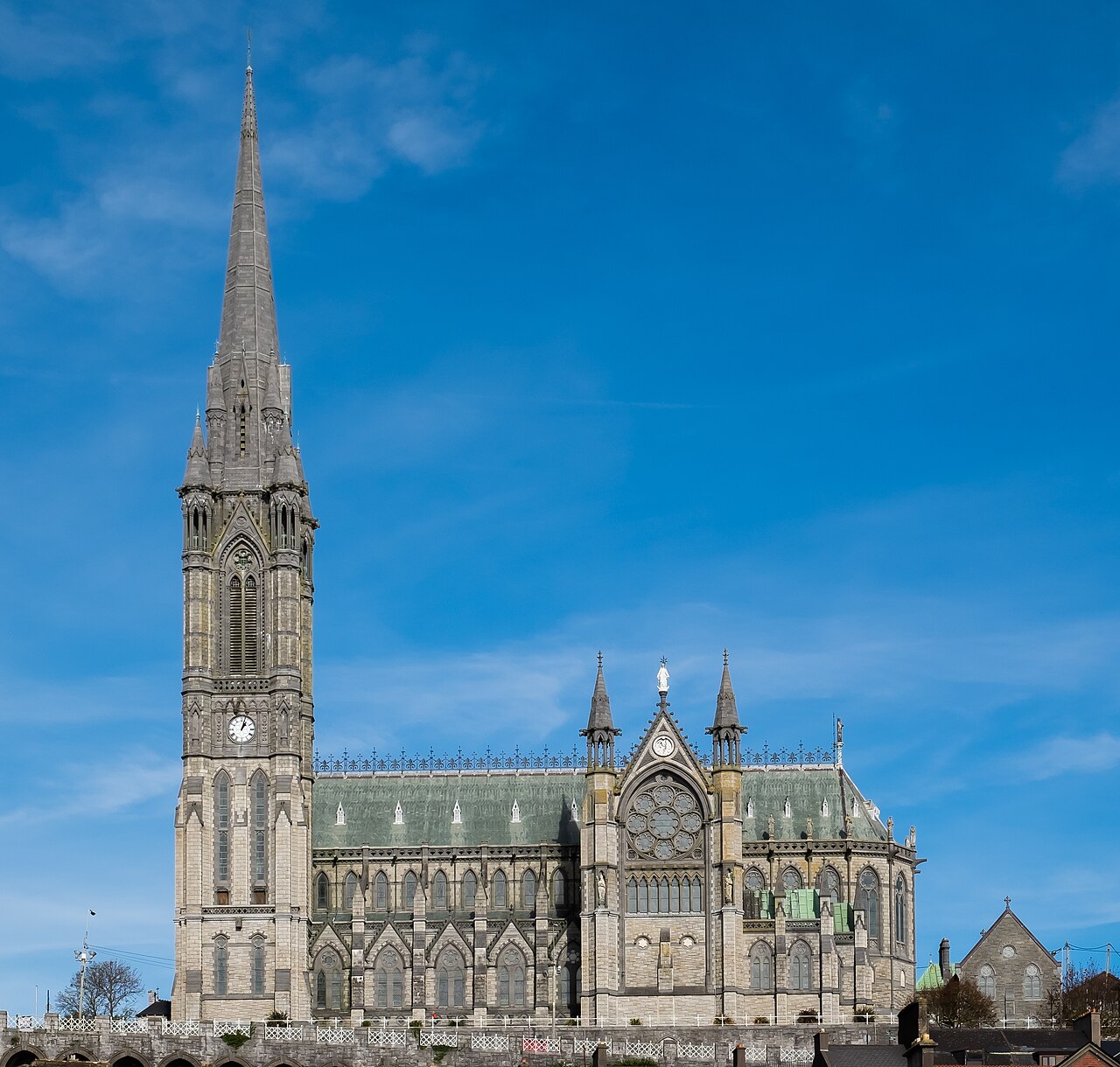 Saint Colman's Cathedral, CobhCathedral · 5.4 mi
Other information
Photo: Credit not shown in the picture search · Rights wording not checked; contact us if this picture should be removed