What is recorded here
In tillage. Cropmark (CASAP) shows univallate circular enclosure; entrance probably to NE. Surrounded by linear system of fosses (CO076-104---).
The above description is derived from the published 'Archaeological Inventory of County Cork. Volume 2: East and South Cork' (Dublin: Stationery Office, 1994). In certain instances the entries have been revised and updated in the light of recent research.
Date of upload/revision: 14 January 2009
A local fairy fort (ringfort/rath); wider significance not recorded.
The monument record does not grant public access. Check the route and ask the landowner before entering private land.
- What survives
- Recorded monument
Places near here
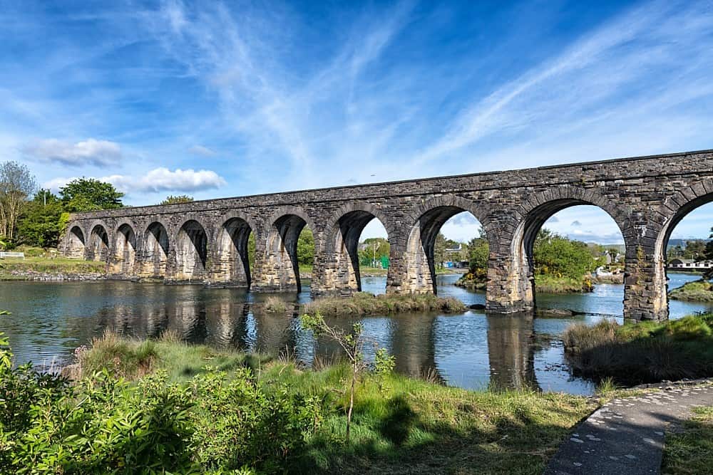 Linear earthwork in Ballynabointra,ballyvodock East,baneshane,water-RockLinear earthwork · 510 yd
 IndicatedEnclosure · 841 yd
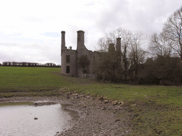 Ballyannan Castle (in Ruins)House, fortified house · 1253 yd
 Gateway in BallyannanGateway · 1262 yd
 Church in BallyannanChurch · 1313 yd
 Ballyannan (Bluebell) WoodsForest · 1.1 mi
 Noel Collins BridgeVisitor information · 1.1 mi
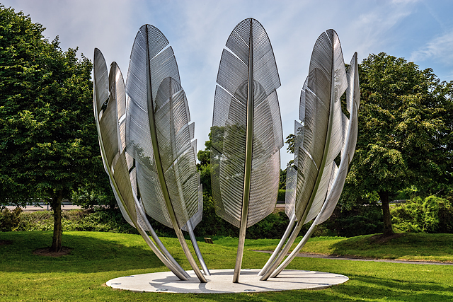 Kindred SpiritsMemorial · 1.2 mi
 Ballyvodock Castle (in Ruins)Castle, tower house · 1.2 mi
 Nellie Cashman MonumentMemorial · 1.4 mi
 Jameson Distillery MidletonHeritage attraction · 1.6 mi
 Tower WoodForest · 1.9 mi
Other information
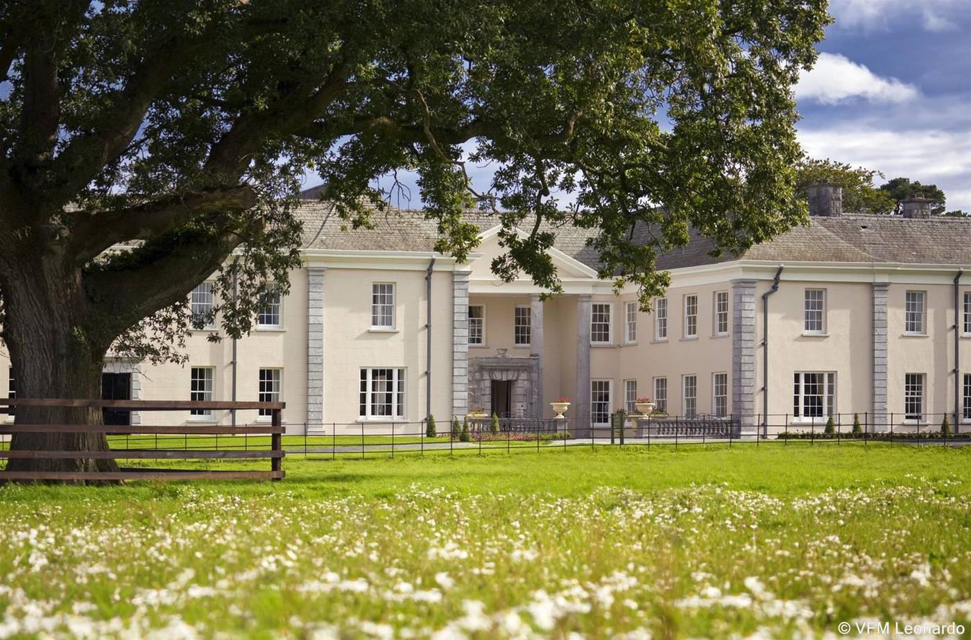
Photo: Credit not shown in the picture search · Rights wording not checked; contact us if this picture should be removed