What is recorded here
Possible ecclesiastical enclosure identified by Swan (1988, 17) who recorded that there was evidence of a possible enclosure in the oval form of the boundary wall of the graveyard (WM038-029001-).
Compiled by: Caimin O’Brien
Date of upload: 25 August 2015
The monument record does not grant public access. Check the route and ask the landowner before entering private land.
- What survives
- Recorded monument
Places near here
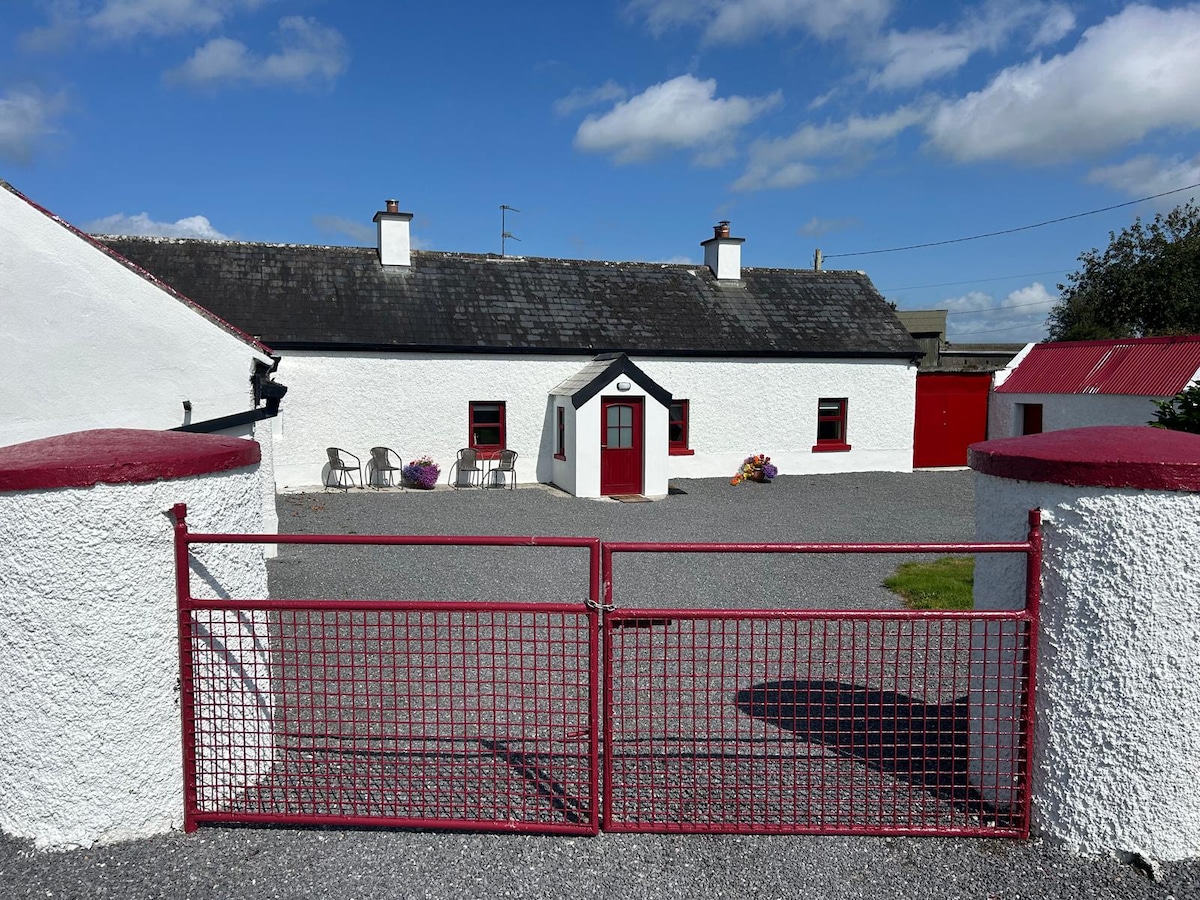 KilnahornaChurch · 12 yd
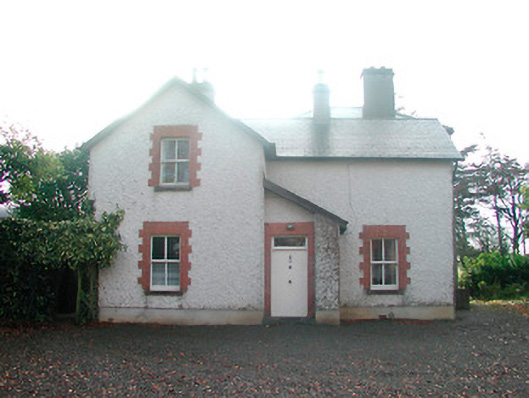 Ardnaglew Cottagehouse · 479 yd
 Bonfire HillMountain / peak · 820 yd
 OutlinedFairy fort / ringfort · 921 yd
 Ardan WoodWood · 1326 yd
 Ecclesiastical enclosure in NewtownlowEcclesiastical enclosure · 1.7 mi
 Lows Castle (in Ruins)Castle, unclassified · 1.8 mi
 Rahugh MoatCastle, motte and bailey · 1.9 mi
 Durrow HillMountain / peak · 2.3 mi
 Bracklin WoodWood · 3.0 mi
 St. Columba's WellSpring · 3.5 mi
 Grand Canal WayWalking route · 5.6 mi